
Taos in Taos County, New Mexico — The American Mountains (Southwest)
Don Fernando de Taos
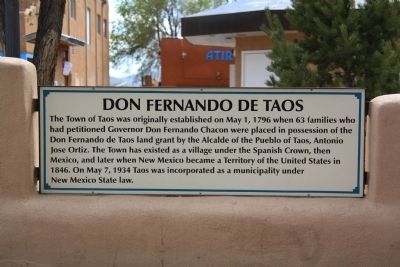
Photographed by J. J. Prats, April 22, 2013
1. Don Fernando de Taos Marker
Topics. This historical marker is listed in these topic lists: Colonial Era • Settlements & Settlers. A significant historical month for this entry is May 1540.
Location. 36° 24.429′ N, 105° 34.451′ W. Marker is in Taos, New Mexico, in Taos County. It is at the intersection of North Plaza and South Plaza, on the left when traveling west on North Plaza. It is at the entrance to the plaza. Touch for map. Marker is in this post office area: Taos NM 87571, United States of America. Touch for directions.

Regionally, this marker is in Northern New Mexico. It is also in the American Southwest and in the Mountain West. Globally, it is in North America, the
this page online
Other nearby markers. At least 8 other markers are within walking distance of this marker: Historic Taos (here, next to this marker); Historic Taos Plaza (here, next to this marker); Veterans Memorial (a few steps from this marker); Battle of Bataan Memorial (a few steps from this marker); Don Fernando de Taos Plaza (within shouting distance of this marker); Padre Antonio José Martínez (within shouting distance of this marker); Hotel La Fonda de Taos (within shouting distance of this marker); Kit Carson Road (about 300 feet away, measured in a direct line). Touch for a list and map of all markers in Taos.
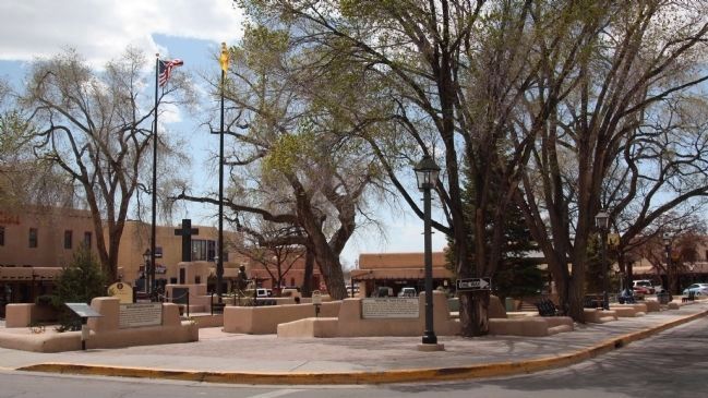
Photographed by J. J. Prats, April 22, 2013
2. Don Fernando de Taos Plaza and Three Markers
From left to right: Historic Taos marker on a short monopole, this marker, and the Historic Taos Plaza marker.
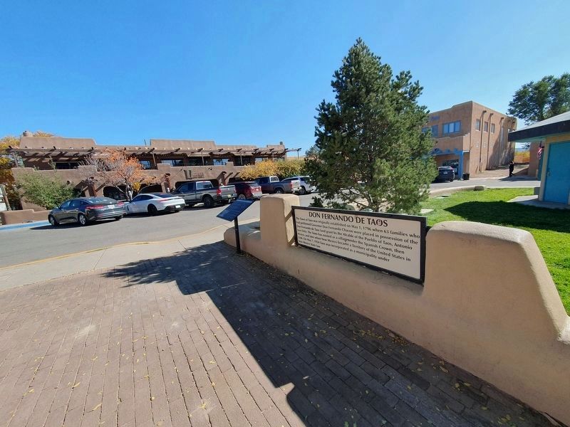
Photographed by J. Makali Bruton, October 22, 2023
3. Don Fernando de Taos Marker
Credits. This page was last revised on November 21, 2023. It was originally submitted on July 13, 2013, by J. J. Prats of Powell, Ohio. This page has been viewed 2,031 times since then and 85 times this year. Photos: 1, 2. submitted on July 13, 2013, by J. J. Prats of Powell, Ohio. 3. submitted on November 21, 2023, by J. Makali Bruton of Washington, District of Columbia.
