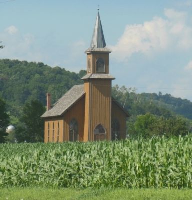
Near Sextonville in Richland County, Wisconsin — The American Midwest (Great Lakes)
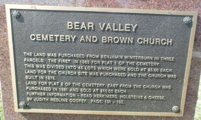
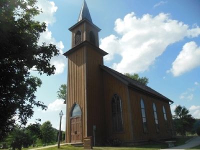
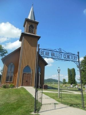
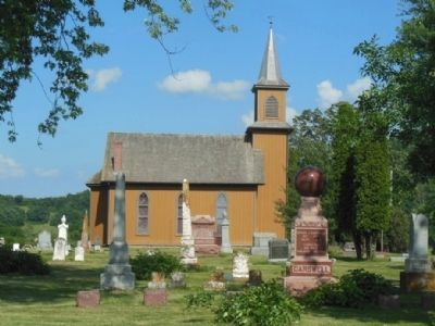
Bear Valley Cemetery and Brown Church
This was divided into 45 lots which were sold at $5.00 each. Land for the church site was purchased and the church was built in 1875.
Land for plat 2 of the cemetery, east from the church, was purchased in 1881 and sold at $10.00 each.
Further information - read Herkimers, Holsteins and Cheese, by Judith Redline Coopey. Page: 131-135.
Topics. This historical marker is listed in these topic lists: Cemeteries & Burial Sites • Churches & Religion • Settlements & Settlers. A significant historical year for this entry is 1863.
Location. 43° 16.281′ N, 90° 13.577′ W. Marker is near Sextonville, Wisconsin, in Richland County. Marker is at the intersection of Brown Church Drive and Wisconsin Highway 130, on the right when traveling west on Brown Church Drive. Touch for map. Marker is in this post office area: Lone Rock WI 53556, United States of America. Touch for directions.
Other nearby markers. At least 8 other markers are within 10 miles of this marker, measured as the crow flies. The Pursuit West (approx. 4.7 miles away); White Mound (approx. 8.8 miles away); St. Anne’s Shrine (approx. 8.9 miles away); Birthplace of GTE (approx. 9.6 miles away); Ada James (approx. 9.6 miles away); Krouskop Park (approx. 9.6 miles away); White Mound Settlement (approx. 9.6 miles away); Wisconsin Purple Heart Memorial Highway (approx. 9.9 miles away).
Credits. This page was last revised on June 16, 2016. It was originally submitted on July 17, 2013, by Gordon Govier of Fitchburg, Wisconsin. This page has been viewed 595 times since then and 23 times this year. Photos: 1, 2, 3, 4, 5. submitted on July 17, 2013, by Gordon Govier of Fitchburg, Wisconsin. • Bernard Fisher was the editor who published this page.
