Near Hancock in Washington County, Maryland — The American Northeast (Mid-Atlantic)
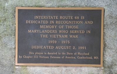
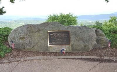
Interstate 68 Maryland Vietnam Memorial
Photographed by Karl Stelly, July 23, 2013
1. Interstate 68 Maryland Vietnam Memorial
Dedicated August 2, 1991 -
This plaque is donated to the State of Maryland by Chapter 172 Vietnam Veterans of America, Cumberland, MD.
Erected 1991 by Chapter 172, Vietnam Veterans of America, Cumberland, MD.
Topics. This memorial is listed in these topic lists: Roads & Vehicles • War, Vietnam.
Location. 39° 43.066′ N, 78° 16.804′ W. Memorial is near Hancock, Maryland, in Washington County. It can be reached from Interstate 68 at milepost 75, 2.7 miles west of Maryland Route 144, on the right when traveling west. Marker is located at the southern end of the parking area for the Sideling Hill Visitor Center/Rest Area, which is just off I-68 Westbound. Touch for map. Memorial is in this post office area: Hancock MD 21750, United States of America. Touch for directions.

Regionally, this memorial is in Western Maryland. It is also in the American Mid-Atlantic, in Appalachia, and specifically in Northern Appalachia. Globally, it is
this page online
Other nearby markers. At least 8 other markers are within 4 miles of this marker, measured as the crow flies: Explore Maryland Civil War Trails (about 400 feet away); a different marker also named The Challenge of Sideling Hill (about 400 feet away); Sideling Hill Cut South Bench (about 600 feet away); a different marker also named Explore Maryland Civil War Trails (about 800 feet away); Round Top Sand Company (approx. 3.9 miles away); Round Top Heritage Area (approx. 3.9 miles away); Round Top Cement Mill (approx. 4 miles away); a different marker also named Round Top Cement Mill (approx. 4 miles away). Touch for a list and map of all markers in Hancock.
Other markers no longer nearby. Gettysburg Campaign (was about 400 feet away, measured in a direct line but has been replaced with another marker now near it); The National Road (was about 400 feet away but has been permanently removed); The Challenge of Sideling Hill (was about 400 feet away but has
Photographed by Karl Stelly, July 23, 2013
2. Interstate 68 Maryland Vietnam Memorial
Photographed by Karl Stelly, July 23, 2013
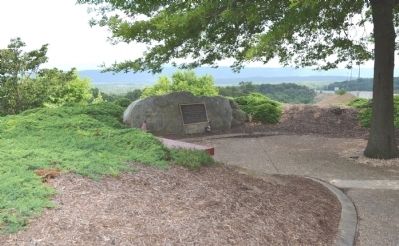
3. Interstate 68 Maryland Vietnam Memorial
Photographed by Craig Doda, October 18, 2019
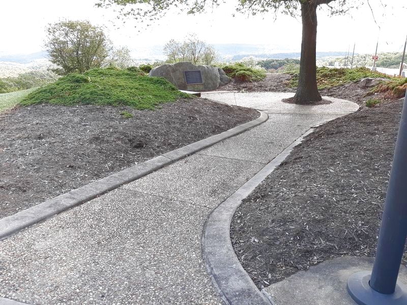
4. Interstate 68 Maryland Vietnam Memorial
Credits. This page was last revised on December 3, 2021. It was originally submitted on July 28, 2013, by Karl Stelly of Gettysburg, Pennsylvania. This page has been viewed 3,205 times since then and 113 times this year. Photos: 1, 2, 3. submitted on July 28, 2013, by Karl Stelly of Gettysburg, Pennsylvania. 4. submitted on November 29, 2021, by Craig Doda of Napoleon, Ohio. • Bill Pfingsten was the editor who published this page.
