Grantsville in Garrett County, Maryland — The American Northeast (Mid-Atlantic)
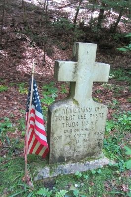
Robert Lee Payne
Topics and series. This historical marker is listed in this topic list: War, Cold. In addition, it is included in the B-52 Bomber Crash in Maryland series list. A significant historical month for this entry is January 1900.
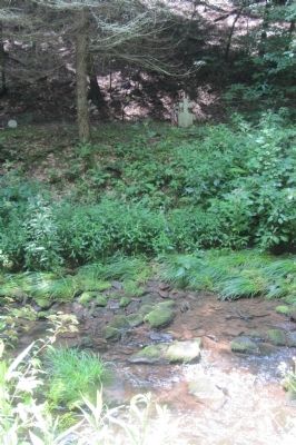
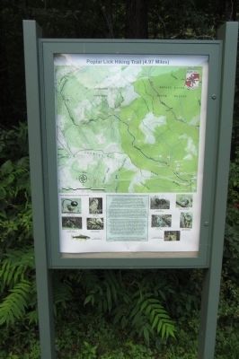
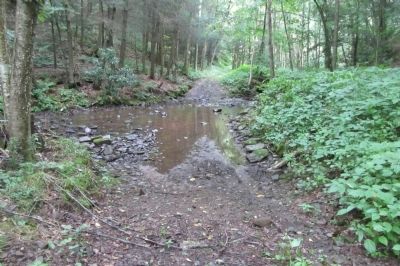
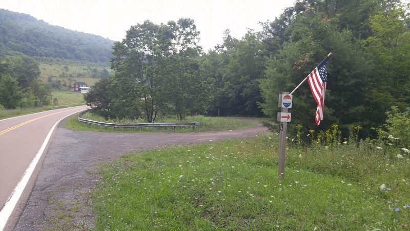
Location. 39° 36.03′ N, 79° 7.15′ W. Marker is in Grantsville, Maryland, in Garrett County. Marker can be reached from Savage River Road, 1.3 miles south of Westernport Road. The marker is along the Poplar Lick Trail, 2.3 miles north of Savage River Road. The trail, an old CCC road now closed to vehicular traffic, runs along Poplar Lick Run and crosses it several times on the way up to the Payne marker; only one of the crossings has a working bridge. Touch for map. Marker is in this post office area: Grantsville MD 21536, United States of America. Touch for directions.
Other nearby markers. At least 8 other markers are within 7 miles of this marker, measured as the crow flies. Swauger Mill (approx. 2.2 miles away); New Germany Lake (approx. 2.2 miles away); Major Robert E. Townley (approx. 3.1 miles away); The Crash of Buzz One Four (approx. 3.4 miles away); Little Meadows (approx. 6.4 miles away); Crash of a United States B-52 Bomber (approx. 6.7 miles away); Bear Hill School (approx. 6.7 miles away); Stanton’s Mill (approx. 6.7 miles away). Touch for a list and map of all markers in Grantsville.
More about this marker. The marker is at the location where Robert Lee Payne was found. He landed near here after having ejected from a crashing B-52, wandered a bit, and froze in the snow by the Poplar Lick Run.
Regarding Robert Lee Payne. The B-52 Strato-Fortress was on a routine mission carrying two 24-megaton nuclear bombs. This was the height of the Cold War and 12 atomic-bomb laden aircraft such as this were airborne at all times. The B-52 crashed on Big Savage Mountain near Lonaconing, during a violent snow storm after the tail fin broke off during massive turbulence. Three of the crew died, two survived. The ordnance was recovered.
Also see . . . Cold War mission ended in tragedy for B-52 crew. This page, linked from the Salisbury PA Historical Web Site, appears to be the most comprehensive story, but there are several others available with a google search. (Submitted on August 4, 2013, by F. Robby of Baltimore, Maryland.)
Additional commentary.
1. B-52 Crash Markers
There are 4 markers related to this incident. One is in the town of Grantsville MD as a tribute to the 5 men involved in the incident, and the citizens who helped search for the men after the crash. The other three markers are located where three of the five were found dead: T/Sgt Melvin F. Wooten in West Salisbury PA, Major Robert Lee Payne along the Poplar Lick Trail in the Savage River State Forest, and Major Robert E. Townley near Pine Swamp Road in Barton, MD.
— Submitted August 4, 2013, by F. Robby of Baltimore, Maryland.
Credits. This page was last revised on October 9, 2016. It was originally submitted on August 4, 2013, by F. Robby of Baltimore, Maryland. This page has been viewed 924 times since then and 24 times this year. Photos: 1, 2, 3, 4. submitted on August 4, 2013, by F. Robby of Baltimore, Maryland. 5. submitted on October 9, 2016, by F. Robby of Baltimore, Maryland.
