Youngstown in Niagara County, New York — The American Northeast (Mid-Atlantic)
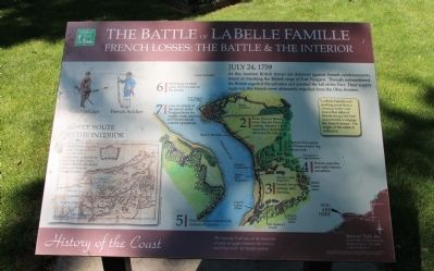
The Battle of La Belle Famille
French Losses: The Battle & The Interior
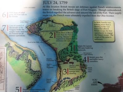
July 24, 1759
At this location British troops set defenses against French reinforcements, intent on breaking the British siege of Fort Niagara. Though outnumbered, the British repelled the advance and assured the fall of the Fort. Their supply route cut, the French were ultimately expelled from the Ohio frontier.
La Belle Famille was nothing more than a clearing in the vast forest that offered British troops the best opportunity to engage the French troops. The origin of the name is unknown.
1. Captain De Lancey & 150 men build log breastwork.
2. Shots fired at Bloody Run warn that the French are coming. Massey's 46th regiment is dispatched to reinforce De Lancey.
3. French troops emerge into clearing.
4. British open fire and inflict heavy casualties.
5. French troops retreat with Indians in pursuit.
6. With hope of relief gone, the Fort falls to the British.
7. Loss of control of the mouth of the Niagara broke the supply route used by the French for all interior operations.
Erected by Seaway Trail, Inc.
Topics and series. This historical marker is listed in this topic list: War, French and Indian. In addition, it is included in the Great Lakes Seaway Trail National Scenic Byway series list. A significant historical month for this entry is July 1944.
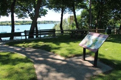
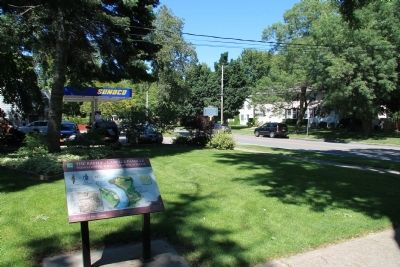
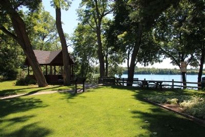
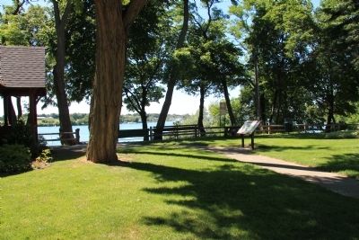
Location. 43° 15.102′ N, 79° 3.001′ W. Marker is in Youngstown, New York, in Niagara County. Marker is on Main Street (New York State Route 18F) north of Lockport Road (New York State Route 93), on the left when traveling north. This historical marker is located in a small downtown community park, on the river side of the roadway, close to the gazebo in Constitution Park. Touch for map. Marker is in this post office area: Youngstown NY 14174, United States of America. Touch for directions.
Other nearby markers. At least 8 other markers are within walking distance of this marker. Capture of Fort George (a few steps from this marker); Site of Salt Battery (a few steps from this marker); Betsy Doyle (within shouting distance of this marker); The Site of El Dorado Hotel (about 400 feet away, measured in a direct line); La Belle Famille (about 400 feet away); St. John's Episcopal Church (about 700 feet away); The Site of John Young Store (approx. 0.2 miles away); POW Camp - WW II (approx. 0.3 miles away). Touch for a list and map of all markers in Youngstown.
Also see . . . Battle of La Belle-Famille. Wikipedia entry
(Submitted on August 6, 2013, by Dale K. Benington of Toledo, Ohio.)
Credits. This page was last revised on January 3, 2022. It was originally submitted on August 6, 2013, by Dale K. Benington of Toledo, Ohio. This page has been viewed 1,533 times since then and 73 times this year. Photos: 1, 2, 3, 4, 5, 6, 7, 8. submitted on August 6, 2013, by Dale K. Benington of Toledo, Ohio.
