Near Pleasanton in Linn County, Kansas — The American Midwest (Upper Plains)
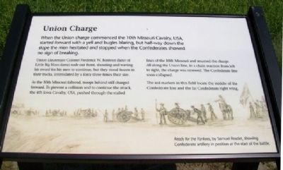
Union Charge
When the Union charge commenced the 10th Missouri Cavalry, USA, started forward with a yell and bugles blaring, but half-way down the slope the men hesitated and stopped when the Confederates showed no sign of breaking.
Union Lieutenant Colonel Frederick W. Benteen (later of Little Big Horn fame) rode out front, shouting and waving his sword for his men to continue, but they stood frozen in their tracks, intimidated by a force three times their size.
As the 10th Missouri faltered, troops behind still charged forward. To prevent a collision and to continue the attack, the 4th Iowa Cavalry, USA, pushed through the stalled lines of the 10th Missouri and resumed the charge. All along the Union line, in a chain reaction from left to right, the charge was renewed. The Confederate line soon collapsed.
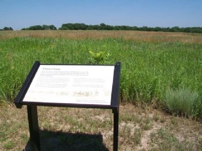
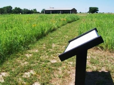
The red markers in this field locate the middle of the Confederate line and the far Confederate right wing.
[Background illustration] Ready for the Yankees, by Samuel Reader, showing Confederate artillery in position at the start of the battle.
Erected 2012 by Kansas State Historical Society.
Topics. This historical marker is listed in this topic list: War, US Civil.
Location. 38° 8.646′ N, 94° 43.388′ W. Marker is near Pleasanton, Kansas, in Linn County. Marker is south of the Mine Creek Battlefield State Historic Site visitor center, along the Prairie Trail. Touch for map. Marker is at or near this postal address: 20485 Kansas Highway 52, Pleasanton KS 66075, United States of America. Touch for directions.
Other nearby markers. At least 8 other markers are within walking distance of this marker. The Fort Scott Road (within shouting distance of this marker); Two Mounted Armies Collide (within shouting distance of this marker); The Battle Begins (within shouting distance of this marker); Confederate Defeat (within shouting distance of this marker); After the Battle (within shouting distance of this marker); Battle of Mine Creek (about 400 feet away, measured in a direct line); Mine Creek Battlefield Aerial Overlay (about 400 feet away); Combat at State Line (about 400 feet away). Touch for a list and map of all markers in Pleasanton.
Also see . . .
1. Battle of Mine Creek, Kansas. (Submitted on August 8, 2013, by William Fischer, Jr. of Scranton, Pennsylvania.)
2. Mine Creek Battlefield State Historic Site, Kansas. (Submitted on August 8, 2013, by William Fischer, Jr. of Scranton, Pennsylvania.)
3. Samuel James Reader Papers at the Kansas State Historical Society. (Submitted on August 8, 2013, by William Fischer, Jr. of Scranton, Pennsylvania.)
Credits. This page was last revised on September 6, 2020. It was originally submitted on August 8, 2013, by William Fischer, Jr. of Scranton, Pennsylvania. This page has been viewed 480 times since then and 14 times this year. Photos: 1, 2, 3. submitted on August 8, 2013, by William Fischer, Jr. of Scranton, Pennsylvania.


