Cumberland in Allegany County, Maryland — The American Northeast (Mid-Atlantic)
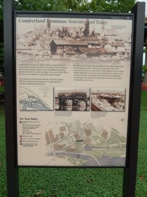
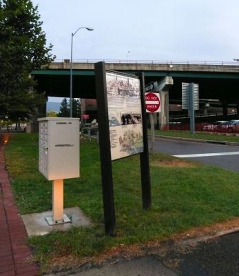
Cumberland Terminus: Yesterday and Today
Chesapeake and Ohio Canal National Historical Park
— National Park Service, U.S. Department of the Interior —
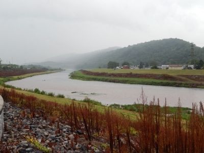
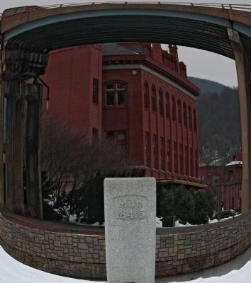
The canal followed the Potomac River for 184.5 miles, gaining 605 feet in elevation from Georgetown to Cumberland, as it headed for Pittsburgh, Pennsylvania.
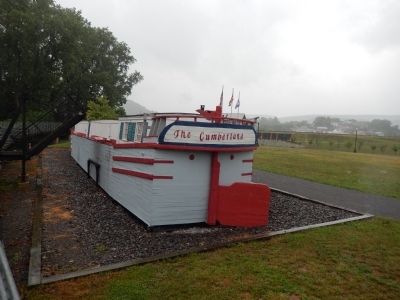
In 1850 the canal finally reached Cumberland; the railroad had already arrived eight years earlier. Beaten by the railroad and financially exhausted by floods, the canal closed in 1924. Although it never linked with the Ohio River, for 74 years the canal provided an outlet for local products and labor, and helped build Cumberland into Maryland's second-largest city, rivaled only by Baltimore. Evidence of the canal's contributions surround you.
Left Diagram
The Canal's Cumberland terminus in 1896.
Middle Photo
Coal from the surrounding mountains rode the rails to meet canal boats at Cumberland. From here boatmen towed it downstream to Georgetown, about a week's journey.
Right Photo
Many Cumberland residents made a living from the canal, finding work building and repairing boats. Residents also were employed at the Footer's Dye Works, towering in the distance.
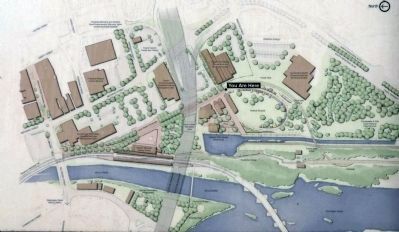
Bottom Diagram
Map of the area.
Erected by National Park Service, U.S. Department of the Interior.
Topics and series. This historical marker is listed in these topic lists: Railroads & Streetcars • Waterways & Vessels. In addition, it is included in the Baltimore and Ohio Railroad (B&O), and the Chesapeake and Ohio (C&O) Canal series lists. A significant historical month for this entry is July 1909.
Location. 39° 38.959′ N, 78° 45.786′ W. Marker is in Cumberland, Maryland, in Allegany County. Marker is on W. Harrison Street, on the right when traveling south. Touch for map. Marker is in this post office area: Cumberland MD 21502, United States of America. Touch for directions.
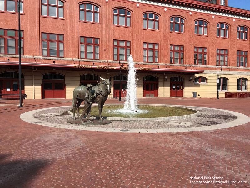
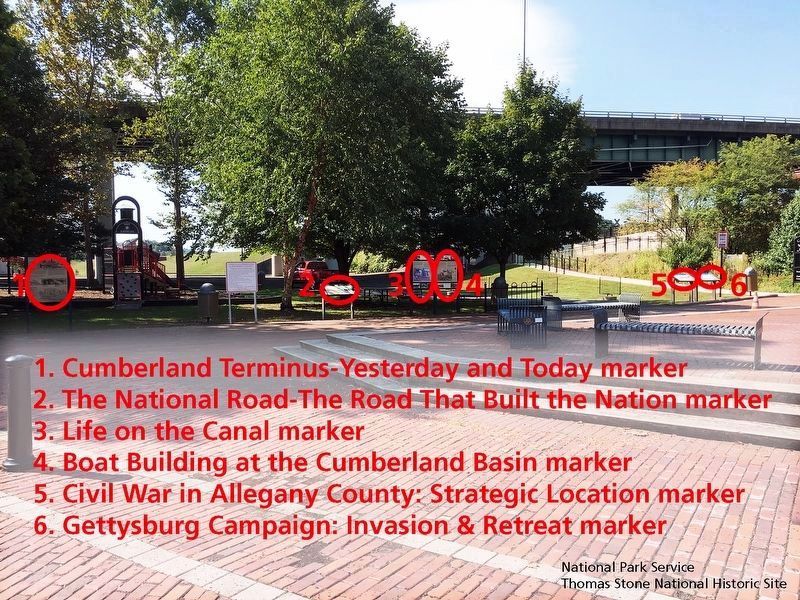
Other nearby markers. At least 8 other markers are within walking distance of this marker. The National Road (a few steps from this marker); Life on the Canal (a few steps from this marker); Boat Building at the Cumberland Basin (a few steps from this marker); Civil War in Allegany County (within shouting distance of this marker); Gettysburg Campaign (within shouting distance of this marker); Cumberland (within shouting distance of this marker); Western Maryland Railway Station (within shouting distance of this marker); Crossroads of America Mural (about 300 feet away, measured in a direct line). Touch for a list and map of all markers in Cumberland.
Also see . . .
1. Cumberland Visitor Center, Chesapeake & Ohio Canal National Historical Park, National Park Service. (Submitted on September 24, 2019.)
2. History & Culture, Chesapeake & Ohio National Historical Park, National Park Service. (Submitted on September 24, 2019.)
Additional keywords. Cumberland Terminus: Yesterday and Today
Credits. This page was last revised on October 7, 2019. It was originally submitted on August 9, 2013, by Bill Pfingsten of Bel Air, Maryland. This page has been viewed 946 times since then and 23 times this year. Photos: 1. submitted on August 9, 2013, by Bill Pfingsten of Bel Air, Maryland. 2. submitted on September 30, 2013, by Allen C. Browne of Silver Spring, Maryland. 3. submitted on August 9, 2013, by Bill Pfingsten of Bel Air, Maryland. 4. submitted on September 30, 2013, by Allen C. Browne of Silver Spring, Maryland. 5. submitted on August 9, 2013, by Bill Pfingsten of Bel Air, Maryland. 6. submitted on September 30, 2013, by Allen C. Browne of Silver Spring, Maryland. 7, 8. submitted on September 24, 2019.
