Cumberland in Allegany County, Maryland — The American Northeast (Mid-Atlantic)
Boat Building at the Cumberland Basin
Chesapeake and Ohio Canal National Historical Park
— National Park Service, U.S. Department of the Interior —
Inscription.
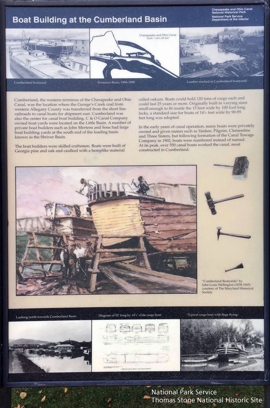
Cumberland, the western terminus of the Chesapeake and Ohio Canal, was the location where the George's Creek coal from western Allegany County was transferred from the short line railroads to canal boats for shipment east. Cumberland was also the center for canal boat building. C&O Canal Company owned boat yards were located on the Little Basin. A number of private boat builders such as John Mertens and Sons had large boat building yards at the south end of the loading basin known as the Shriver Basin.
The boat builders were skilled craftsmen. Boats were built of Georgia pine and oak and caulked with hemplike material called oakum. Boats could hold 120 tons of cargo each and could last 25 years or more. Originally built in varying sizes small enough to fit inside the 15 foot wide by 100 foot long locks, a standard size for boats of 14 1/2 feet wide by 90-95 feet long was adopted.
In the early years of canal operation, many boats were privately owned and given names such as Yankee, Pilgrim, Clementine and Three Sisters, but following formation of the Canal Towage Company in 1902, boats were numbered instead of named. At its peak, over 550 canal boats worked the canal, most constructed in Cumberland.
Painting
"Cumberland Boatyards" by John Louis Wellington (1878-1965) courtesy of The Maryland Historical Society.Bottom Left Photo
Looking north towards Cumberland Basin
Bottom Center Diagram
Diagram of 92' long by 14 1/2' wide cargo boat
Bottom Left Photo
Typical cargo boat with flags flying
Erected by National Park Service, U.S. Department of the Interior.
Topics and series. This historical marker is listed in this topic list: Waterways & Vessels. In addition, it is included in the Chesapeake and Ohio (C&O) Canal series list. A significant historical year for this entry is 1902.
Location. 39° 38.958′ N, 78° 45.795′ W. Marker is in Cumberland, Maryland, in Allegany County. Marker is on W. Harrison Street, on the right when traveling south. Touch for map. Marker is in this post office area: Cumberland MD 21502, United States of America. Touch for directions.
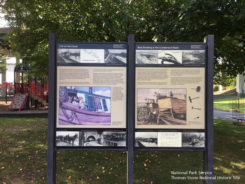
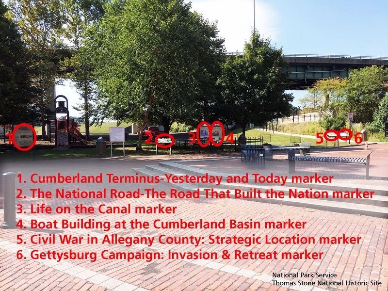
Other nearby markers. At least 8 other markers are within walking distance of this marker. Life on the Canal (here, next to this marker); The National Road (here, next to this marker); Cumberland Terminus: Yesterday and Today (a few steps from this marker); Civil War in Allegany County (a few steps from this marker); Gettysburg Campaign (a few steps from this marker); Cumberland (within shouting distance of this marker); Western Maryland Railway Station (within shouting distance of this marker); Crossroads of America Mural (within shouting distance of this marker). Touch for a list and map of all markers in Cumberland.
Credits. This page was last revised on June 11, 2020. It was originally submitted on August 9, 2013, by Bill Pfingsten of Bel Air, Maryland. This page has been viewed 723 times since then and 27 times this year. Photos: 1, 2, 3. submitted on September 24, 2019.


