Near Grantsville in Tooele County, Utah — The American Mountains (Southwest)
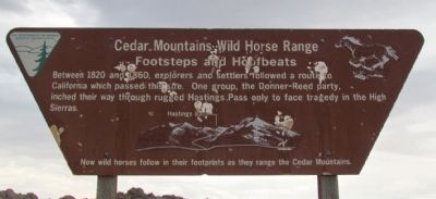
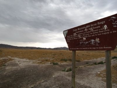
Cedar Mountains Wild Horse Range
Footsteps and Hoofbeats
Now wild horses follow in their footprints as they range the Cedar Mountains.
Erected by Bureau of Land Management.
Topics. This historical marker is listed in these topic lists: Roads & Vehicles • Settlements & Settlers. A significant historical year for this entry is 1820.
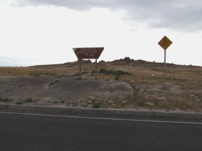
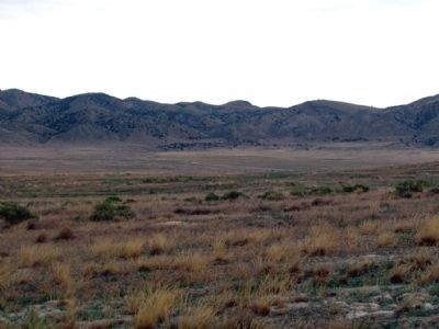
Location. 40° 45.312′ N, 113° 1.102′ W. Marker is near Grantsville, Utah, in Tooele County. Marker can be reached from Interstate 80 at milepost 54, on the right when traveling east. Marker is located at the Grassy Mountain East Rest Area approx. two miles before Exit 56. The rest area and marker can only be accessed from the eastbound travel lanes of the freeway. Touch for map. Marker is in this post office area: Grantsville UT 84029, United States of America. Touch for directions.
Also see . . . Hastings Pass & Summit. A historical and present-day description of crossing the Cedar Mountains at Hastings Pass from the ScienceViews.com website. (Submitted on August 11, 2013, by Duane Hall of Abilene, Texas.)
Credits. This page was last revised on June 16, 2016. It was originally submitted on August 11, 2013, by Duane Hall of Abilene, Texas. This page has been viewed 509 times since then and 15 times this year. Photos: 1, 2, 3, 4. submitted on August 11, 2013, by Duane Hall of Abilene, Texas.


