Sharpsburg in Washington County, Maryland — The American Northeast (Mid-Atlantic)
Kemper's (Va) Brigade
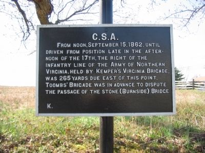
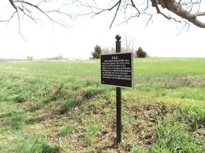
From noon, September 15, 1862, until driven from position late in the afternoon of the 17th, the right of the infantry line of the Army of Northern Virginia, held by Kemper's Virginia Brigade, was 265 yards due east of this point. Toombs' Brigade was in advance to dispute the passage of the Stone (Burnside) Bridge.
Erected by Antietam Battlefield Board. (Marker Number K.)
Topics and series. This historical marker is listed in this topic list: War, US Civil. In addition, it is included in the Antietam Campaign War Department Markers series list. A significant historical month for this entry is September 1822.
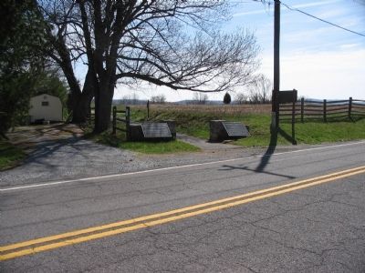
Location. 39° 27.081′ N, 77° 44.804′ W. Marker is in Sharpsburg, Maryland, in Washington County. Marker is on Harpers Ferry Road, on the right when traveling north. Located at the start of a foot path to the Hawkins Zouaves Memorial. Touch for map. Marker is in this post office area: Sharpsburg MD 21782, United States of America. Touch for directions.
Other nearby markers. At least 8 other markers are within walking distance of this marker. Jackson's Command (a few steps from this marker); Longstreet's Command (a few steps from this marker); 8th Connecticut Volunteer Infantry (approx. 0.2 miles away); 1st Maryland Artillery (CSA) (approx. 0.2 miles away); Brigadier General Isaac P. Rodman (approx. 0.2 miles away); 9th New York Infantry (approx. 0.2 miles away); a different marker also named Jackson's Command (approx. ¼ mile away); a different marker also named Jackson's Command (approx. ¼ mile away). Touch for a list and map of all markers in Sharpsburg.
Regarding Kemper's (Va) Brigade. Title of tablet based on references including Trailhead Graphics, Inc. map of the battlefield.
Related markers. Click here for a list of markers that are related to this marker. Follow Kemper's Brigade by tablets.
Also see . . .
1. Antietam Battlefield. National Park Service site. (Submitted on March 30, 2008, by Craig Swain of Leesburg, Virginia.)
2. Kemper's Brigade, Jones' Division. (Submitted on March 30, 2008, by Craig Swain of Leesburg, Virginia.)

Photographed By Craig Swain, March 29, 2008
4. Kemper's Right
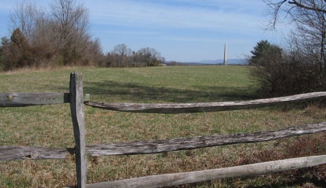
The right flank of Kemper's Brigade rested here on the day before the battle and during the early morning phases. In the afternoon of the 17th, elements of Rodman's Division forced Kemper's Brigade from this line and back to Harpers Ferry Road. The Brigade would rebound and occupy this position again as part of the counterattack of A.P. Hill's Division. The photograph was taken from the walking trail to Hawkins Zouave Monument, which can be seen in the background. The ground beyond the fence here is private property.
Credits. This page was last revised on October 25, 2017. It was originally submitted on March 30, 2008, by Craig Swain of Leesburg, Virginia. This page has been viewed 1,004 times since then and 21 times this year. Photos: 1. submitted on March 30, 2008, by Craig Swain of Leesburg, Virginia. 2. submitted on April 16, 2011, by Bill Coughlin of Woodland Park, New Jersey. 3, 4. submitted on March 30, 2008, by Craig Swain of Leesburg, Virginia.


