Rossville in Walker County, Georgia — The American South (South Atlantic)
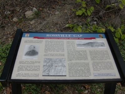
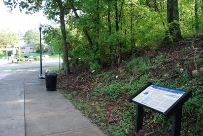
Rossville Gap
Chickamauga Campaign Heritage Trail
Because the Gap at Rossville provided easy passage through the barrier of Missionary Ridge, it took on a great significance during the campaigns of Chickamauga and Chattanooga in the fall of 1863.
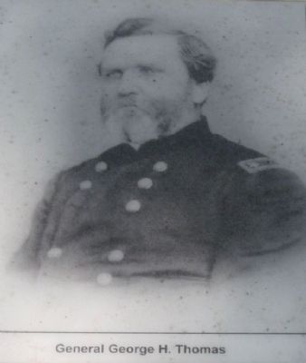
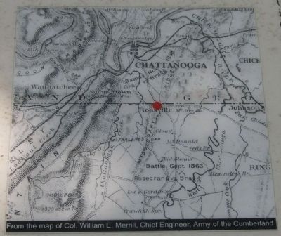
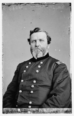
Dawn on September 21st found the Federals in Rossville arrayed in line of battle under the command of General George H. Thomas. Defending the gap was General James Negley's division and Colonel Daniel McCook's Brigade. Behind Negley's men were the other three divisions of the Fourteenth Corps massed in and around Rossville. To the north of Negley's position, deployed along the crest of Missionary Ridge, were two divisions of the twenty-first Corps and one division of the Reserve Corps. Stretching in a line due west of Rossville was the Twentieth Corps. Picketing the Ringgold and LaFayette Roads to the south of Rossville Gap were elements of Union General Robert H.G. Minty's cavalry brigade.
Around 9 A.M. on the 21st, Minty's men along the Ringgold Road encountered Confederate cavalrymen from General John Pegram's command. On the LaFayette Road another force of several hundred Southern horsemen led by Generals Nathan Bedford Forrest and Frank Armstrong drove Minty's men northward. At some point south of Rossville Gap, Forrest and Armstrong rode onto the crest of Missionary Ridge. From this vantage point General Forrest could see "Chattanooga and everything around." Upon returning to his command along the Lafayette Road, Forrest wrote his much-discussed order to General Leonidas Polk, (later forwarded to General Braxton Bragg), in which the cavalryman suggested that the Confederates "press forward as rapidly as possible."
In hopes of flanking the Federals out of Rossville Gap, General Forrest dismounted several units from Colonel George Dibrell's brigade and sent them up Missionary Ridge, one quarter mile south of Rossville Gap, around 10:00 A.M. In a fight lasting approximately thirty minutes, the Southern cavalrymen repeatedly charged a Union line held by General John Beatty's brigade. When the Confederates eventually retreated down the slopes, they left behind several men killed and wounded, some of them within thirty feet of the Federal position.
Later in the afternoon General Forrest brought up his horse artillery to shell the Federal positions along the ridge. Union batteries, massed on a knoll within Rossville Gap and along the crest of Missionary Ridge north of the Gap, responded to the Confederate guns. The Southern artillery fire managed to drive Edward King's U.S. Regulars back into the Gap in a state of confusion, but otherwise caused little damage to the entrenched Federals.
Beginning around 8:00 P.M. on the 21st, Union Army commander William Rosecrans started pulling his army back toward Chattanooga. This withdrawal from Rossville continued unopposed throughout the night. By the predawn hours of September 22nd, the final Federal Pickets in Rossville had fallen back toward Chattanooga.
Erected by Chickamauga Campaign Heritage Trail. (Marker Number #32.)
Topics and series. This historical marker is listed in this topic list: War, US Civil. In addition, it is included in the Chickamauga Campaign Heritage Trail series list. A significant historical month for this entry is September 1838.
Location. 34° 59.024′ N, 85° 16.764′ W. Marker is in Rossville, Georgia, in Walker County. Marker is at the intersection of Chickamauga Avenue (U.S. 27) and West Crest Road, on the right when traveling north on Chickamauga Avenue. Touch for map. Marker is in this post office area: Rossville GA 30741, United States of America. Touch for directions.
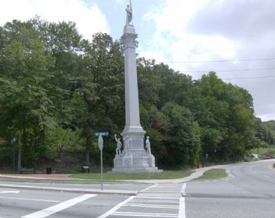
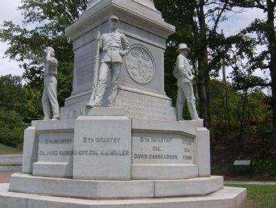
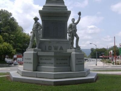
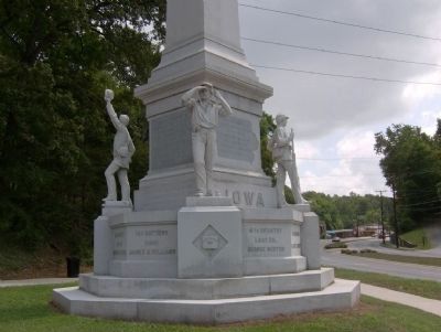
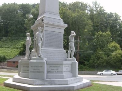
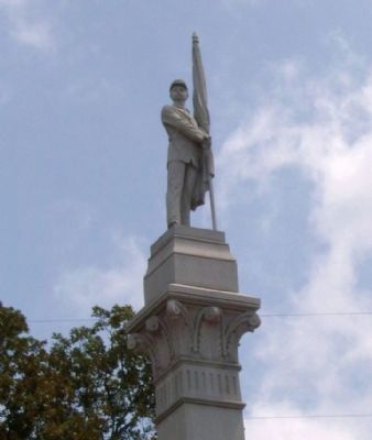
Other nearby markers. At least 8 other markers are within walking distance of this marker. Iowa State Monument (a few steps from this marker); 27th U.S. Missouri Infantry (a few steps from this marker); Woods' Brigade (within shouting distance of this marker); Osterhaus' Division (within shouting distance of this marker); Cruft's Division (about 600 feet away, measured in a direct line); 24th Ohio Infantry (approx. ¼ mile away in Tennessee); a different marker also named Cruft's Division (approx. ¼ mile away in Tennessee); 51st Ohio Infantry (approx. ¼ mile away in Tennessee). Touch for a list and map of all markers in Rossville.
Also see . . .
1. Chickamauga Campaign .org. Homepage for the Chickamauga Campaign Heritage Trail. (Submitted on June 3, 2011, by David Tibbs of Resaca, Georgia.)
2. Battle of Missionary Ridge. This is the Wikipedia page for the Battle of Missionary Ridge. (Submitted on June 3, 2011, by David Tibbs of Resaca, Georgia.)
3. The battle for Chattanooga 23, 24, and 25 November 1863. American Civil War .com This site has a time table for the battle for Chattanooga as well as detailed accounts for each day. (Submitted on June 3, 2011, by David Tibbs of Resaca, Georgia.)
Credits. This page was last revised on June 16, 2016. It was originally submitted on June 3, 2011, by David Tibbs of Resaca, Georgia. This page has been viewed 1,769 times since then and 91 times this year. Last updated on August 16, 2013, by David Graff of Halifax, Nova Scotia. Photos: 1, 2, 3, 4, 5. submitted on June 3, 2011, by David Tibbs of Resaca, Georgia. 6. submitted on August 12, 2015, by Brandon Fletcher of Chattanooga, Tennessee. 7, 8, 9, 10, 11. submitted on June 3, 2011, by David Tibbs of Resaca, Georgia. 12. submitted on August 12, 2015, by Brandon Fletcher of Chattanooga, Tennessee. • Bernard Fisher was the editor who published this page.
