Near South Side in Chicago in Cook County, Illinois — The American Midwest (Great Lakes)
Battle of Fort Dearborn
August 15, 1812
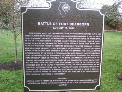
Photographed by Roger Clegg, December 9, 2010
1. Battle of Fort Dearborn Marker
this page online
Erected 2009 by Alderman Robert Fioretti, U.S Daughters of 1812, Prairie District Neighborhood Alliance, Glessner House Museum, American Indian Center, Dr. John N. Low on behalf of himself and his tribal community (Pokagon Band of Potawatomi Indians), and the Illinois State Historical Society.
Topics and series. This historical marker is listed in these topic lists: Forts and Castles • Indigenous Peoples and Communities • Settlements & Settlers • War of 1812. In addition, it is included in the Illinois State Historical Society, and the United States Daughters of 1812, National Society series lists. A significant historical year for this entry is 1620.
Location. 41° 51.466′ N, 87° 37.158′ W. Marker is in Chicago,
Photographed by Allen C. Browne, November 5, 2012
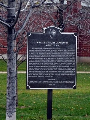
2. Battle of Fort Dearborn Marker

Regionally, this marker is in the American Midwest. Globally, it is in North America, on the Great Lakes, in the Western Hemisphere, in the Western World, and in the Anglosphere. Historically, it finds itself in what was once the Viceroyalty of New France, the territory of the Mississippian Culture, and the Northwest Territory.
Other nearby markers. At least 8 other markers are within walking distance of this marker: Prairie Avenue Historic District (about 400 feet away, measured in a direct line); George Pullman (about 400 feet away); John J. and Frances M. Glessner House (about 400 feet away); A Heritage Preserved (about 400 feet away); Lost Houses of Prairie Avenue: 1600-1700 Blocks (about 400 feet away); Beginnings 1812-1871 (about 400 feet away); Outside the District (about 400 feet away); Glory Days 1872-1904 (about 400 feet away). Touch for a list and map of
Photographed by Allen C. Browne, November 5, 2012
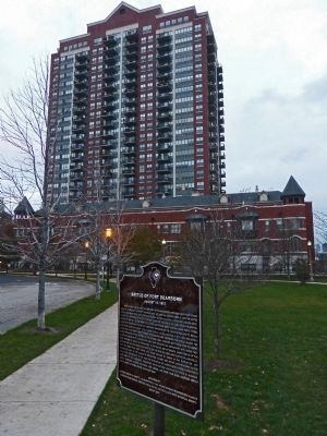
3. Battle of Fort Dearborn Marker
Other markers no longer nearby. Fort Dearborn Massacre Monument (was within shouting distance of this marker but has been permanently removed); John J. Glessner House (was about 400 feet away but has been replaced with another marker now near it).
More about this marker. Located in a small park on the east side of the street where Calumet meets 18th street
Also see . . . The True Story of the Deadly Encounter at Fort Dearborn - Chicago Magazine. (Submitted on December 22, 2011, by Bill Pfingsten of Bel Air, Maryland.)

Photographed by Allen C. Browne, November 5, 2012
4. Illinois Historical Society
Photographed by Allen C. Browne, November 4, 2012
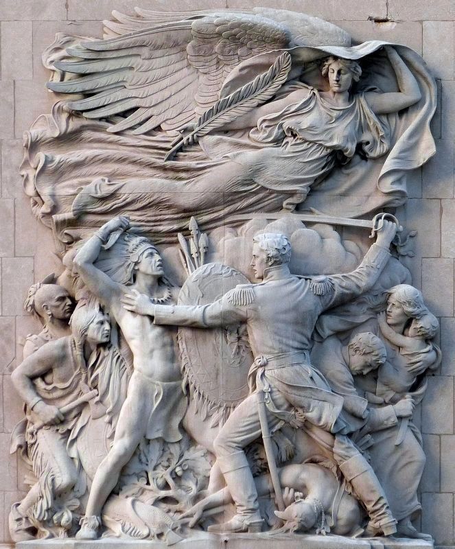
5. Defense
Henry Herring's 1928 Sculpture “Defense” on the south western bridge tender's house on Michigan Avenue (DuSable) Bridge heroically depicts the Battle of Fort Dearborn.
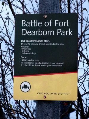
Photographed by Allen C. Browne, November 5, 2012
6. Battle of Fort Dearborn Park Sign
Credits. This page was last revised on January 30, 2023. It was originally submitted on December 21, 2011, by Roger Clegg of Cicero, Illinois. This page has been viewed 2,864 times since then and 95 times this year. Last updated on August 17, 2013, by John Low of Newark, Ohio. Photos: 1. submitted on December 21, 2011, by Roger Clegg of Cicero, Illinois. 2, 3. submitted on February 24, 2013, by Allen C. Browne of Silver Spring, Maryland. 4, 5. submitted on November 25, 2016, by Allen C. Browne of Silver Spring, Maryland. 6. submitted on February 24, 2013, by Allen C. Browne of Silver Spring, Maryland. • Al Wolf was the editor who published this page.
