Laramie in Albany County, Wyoming — The American West (Mountains)
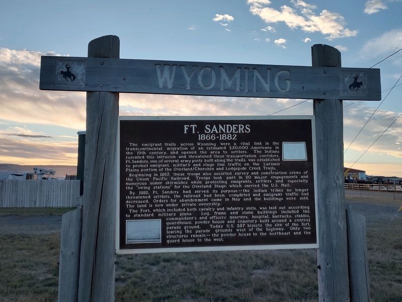
Ft. Sanders
1866-1882
Photographed by Duane Hall, July 6, 2013
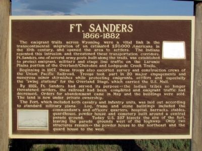
1. Ft. Sanders Marker
The emigrant trails across Wyoming were a vital link in the transcontinental migration of an estimated 250,000 Americans in the 19th century, and opened the area to settlers. The Indians resented this intrusion and threatened these transportation corridors. Ft. Sanders, one of several army posts built along the trails, was established to protect emigrant, military and stage line traffic on the Laramie Plains portion of the Overland/Cherokee and Lodgepole Creek Trails.
Beginning in 1867, these troops also escorted survey and construction crews of the Union Pacific Railroad. Troops took part in 20 major engagements and numerous minor skirmishes while protecting emigrants, settlers and especially the "swing stations" for the Overland Stage, which carried the U.S. Mail.
By 1882, Ft. Sanders had served its purpose--the Indian tribes no longer threatened settlers, the railroad had been completed and emigrant traffic had decreased. Orders for abandonment came in May and the buildings were sold. The land is now under private ownership.
The Fort, which included both cavalry and infantry units,
this page online
Topics. This historical marker is listed in these topic lists: Forts and Castles • Roads & Vehicles. A significant historical year for this entry is 1867.
Location. 41° 16.104′ N, 105° 35.744′ W. Marker is in Laramie, Wyoming, in Albany County. It is at the intersection of U.S. 287 and Cavalryman Ranch Road, on the right when traveling north on U.S. 287. Marker is located on a side road northeast of the intersection of US 287 / Cavalryman Ranch Road. Touch for map. Marker is in this post office area: Laramie WY 82070, United States of America. Touch for directions.

Regionally, this marker is in Wyoming’s Laramie Basin. It is also in the American Mountain West. Globally, it is in North America, the Rocky
Photographed by Duane Hall, July 6, 2013
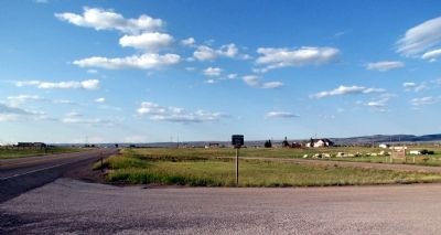
2. View to north along US 287
Other nearby markers. At least 8 other markers are within 3 miles of this marker, measured as the crow flies: Site of Fort Sanders (approx. ¼ mile away); Laramie (approx. 2.1 miles away); George Adams Wyman (approx. 2.8 miles away); 407 S. 2nd Street (approx. 2.9 miles away); First Woman Jury (approx. 2.9 miles away); Commemorating Women of Laramie (approx. 2.9 miles away); Johnson Lummis Hunkins Plaza (approx. 2.9 miles away); The Franchise (approx. 2.9 miles away). Touch for a list and map of all markers in Laramie.
Another marker is no longer nearby. Laramie (was approx. 2.8 miles away but has been confirmed missing).
Photographed by Duane Hall, July 6, 2013
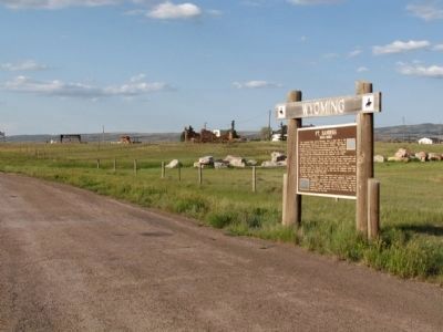
3. Ft. Sanders Marker
Photographed by Duane Hall, July 6, 2013
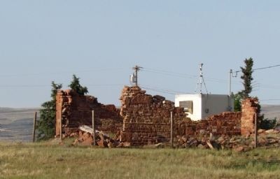
4. Ruins of Powder House
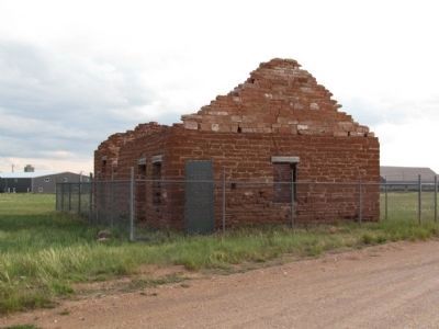
Photographed by Duane Hall, July 6, 2013
5. Remains of Fort Sanders Guardhouse
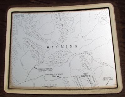
Photographed by Duane Hall, July 6, 2013
6. Close-up of Map on Marker
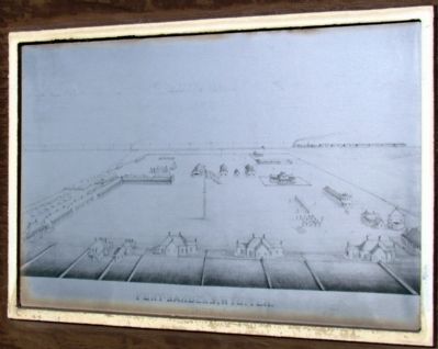
Photographed by Duane Hall, July 6, 2013
7. Close-up of Drawing on Marker
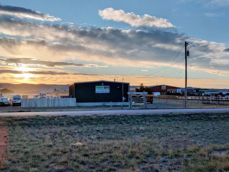
Photographed by Jimmy Emerson, October 26, 2025
8. Ft. Sanders Marker
Photographed by Jimmy Emerson, October 26, 2025
9. Ft. Sanders Marker
Credits. This page was last revised on November 15, 2025. It was originally submitted on August 22, 2013, by Duane Hall of Abilene, Texas. This page has been viewed 1,175 times since then and 60 times this year. Photos: 1, 2, 3, 4, 5, 6, 7. submitted on August 22, 2013, by Duane Hall of Abilene, Texas. 8, 9. submitted on October 26, 2025, by Jimmy Emerson of Dalton, Georgia.
