Sullivans Island in Charleston County, South Carolina — The American South (South Atlantic)
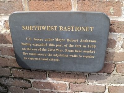
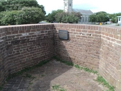
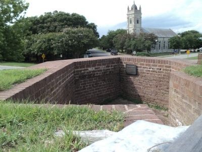
Northwest Bastionet
U.S. forces under Major Robert Anderson hastily expanded this part of the fort in 1860 on the eve of the Civil War. From here musket fire could sweep the adjoining walls to repulse an expected land attack.
Topics. This historical marker is listed in these topic lists: Forts and Castles • War, US Civil. A significant historical year for this entry is 1860.
Location. 32° 45.596′ N, 79° 51.495′ W. Marker is on Sullivans Island, South Carolina, in Charleston County. Marker can be reached from Middle Street, on the left when traveling east. Marker is located at Fort Moultrie National Monument. Touch for map. Marker is in this post office area: Sullivans Island SC 29482, United States of America. Touch for directions.
Other nearby markers. At least 8 other markers are within walking distance of this marker. Powder Magazine (within shouting distance of this marker); Fort Moultrie Torpedo Storehouse (within shouting distance of this marker); Harbor Defense 1809-1860 (within shouting distance of this marker); Traverse c.1820 (within shouting distance of this marker); Enlisted Men's Barracks (within shouting distance of this marker); Building Forts (within shouting distance of this marker); Oceola / Patapsco Dead (within shouting distance of this marker); a different marker also named Fort Moultrie Torpedo Storehouse (within shouting distance of this marker). Touch for a list and map of all markers in Sullivans Island.
Also see . . . Fort Moultrie. National Park Service website. (Submitted on August 22, 2013, by Bill Coughlin of Woodland Park, New Jersey.)
Credits. This page was last revised on June 16, 2016. It was originally submitted on August 22, 2013, by Bill Coughlin of Woodland Park, New Jersey. This page has been viewed 391 times since then and 18 times this year. Photos: 1, 2, 3, 4. submitted on August 22, 2013, by Bill Coughlin of Woodland Park, New Jersey.


