Pine Bluffs in Laramie County, Wyoming — The American West (Mountains)
Old Texas Trail
Photographed by Duane Hall, July 6, 2013
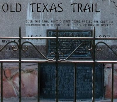
1. Old Texas Trail Marker
In Memory
of the pioneer cattlemen who passed this way on the Old Texas Trail 1866 to 1897. This plaque placed by the Historical Landmark Commission of Wyoming 1948.
This monument sponsored by the Lions Club of Pine Bluffs, Wyoming Stock Growers Association, and the Family of Captain D.H. and J.W. Snyder, Texas Trail drivers who brought the first herds of Texas cattle to Wyoming in 1866.
Erected 1948 by Historical Landmark Commission of Wyoming.
Topics. This historical marker is listed in these topic lists: Agriculture • Animals. A significant historical year for this entry is 1866.
Location. 41° 10.964′ N, 104° 4.194′ W. Marker is in Pine Bluffs, Wyoming, in Laramie County. It is at the intersection of Lincoln Highway (U.S. 30) and Market Street, on the right when traveling east on Lincoln Highway. Touch for map. Marker is in this post office area: Pine Bluffs WY 82082, United States of America. Touch for directions.

Regionally, this marker is in the Laramie Basin and in Greater Cheyenne. It
this page online
Other nearby markers. At least 3 other markers are within 13 miles of this marker, measured as the crow flies: Geology Shaping History (approx. 0.6 miles away); Panorama Point (approx. 12.3 miles away in Nebraska); Corner Common to Nebraska and Wyoming on the Colorado State Boundary (approx. 12.6 miles away in Colorado).
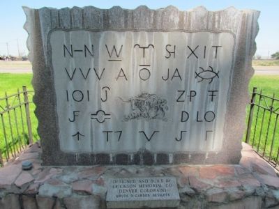
More about this marker. The marker was designed and built by Erickson Memorial Co., Denver Colorado, Wayne D. Gordon, designer.
Photographed by Duane Hall, July 6, 2013
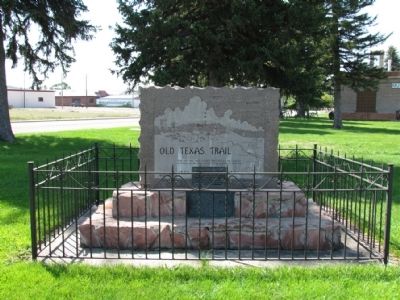
2. Old Texas Trail Marker
Photographed by Duane Hall, July 6, 2013
3. Old Texas Trail Marker (Back)
Photographed by Duane Hall, July 6, 2013
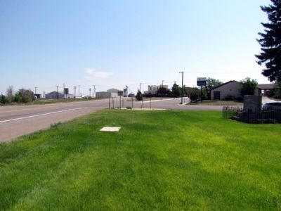
4. View to east along Lincoln Highway (US 30)
Credits. This page was last revised on June 16, 2016. It was originally submitted on August 24, 2013, by Duane Hall of Abilene, Texas. This page has been viewed 1,117 times since then and 43 times this year. Photos: 1, 2, 3, 4. submitted on August 24, 2013, by Duane Hall of Abilene, Texas.
