Near Cozad in Dawson County, Nebraska — The American Midwest (Upper Plains)
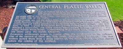
Central Platte Valley
Indian trouble was not uncommon here in the early days of settlement. The Plum Creek Massacre occurred in 1864 when Sioux Indians attacked a wagon train, killing sevral men and taking prisoners at a site near here in Phelps County. Also near here, in 1867, a group of Cheyenne led by Chief Turkey Leg cut the telegraph line, derailed a locomotive, and killed several Union Pacific Railroad employees. The Army's Pawnee Indian Scouts, commanded by Major Frank North, came to the rescue and drove away the hostile Cheyenne.
Permanent settlements began to appear after the construction of the railroad. One of the earliest of these was Plum Creek, later renamed Lexington. The first settlers moved there from a stage station on the south side of the river shortly before the coming of the railroad.
Erected by Dawson County Historical Society and Nebraska State Historical Society. (Marker Number 73.)
Topics and series. This historical marker is listed in these topic lists: Native Americans • Roads & Vehicles • Settlements & Settlers. In addition, it is included in the Nebraska State Historical Society series list. A significant historical year for this entry is 1864.
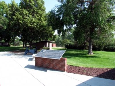
Location. 40° 48.929′ N, 99° 54.837′ W. Marker is near Cozad, Nebraska, in Dawson County. Marker can be reached from Interstate 80 at milepost 226, on the right when traveling east. Marker is located at the Cozad Eastbound Rest Area near Mile Marker 226 between Exits 222 (Cozad) and 231 (State Route 24A). Marker can only be accessed from the eastbound lanes of the freeway. Touch for map. Marker is in this post office area: Cozad NE 69130, United States of America. Touch for directions.
Other nearby markers. At least 5 other markers are within 11 miles of this marker, measured as the crow flies. A different marker also named Central Platte Valley (approx. ¾ mile away); The 100th Meridian (approx. 4.7 miles away); Plum Creek Railroad Attack (approx. 5.8 miles away); M2 Bradley Fighting Vehicle (approx. 10½ miles away); M60A1 Main Battle Tank (approx. 10½ miles away).
Credits. This page was last revised on July 22, 2023. It was originally submitted on August 24, 2013, by Duane Hall of Abilene, Texas. This page has been viewed 924 times since then and 24 times this year. Photos: 1, 2. submitted on August 24, 2013, by Duane Hall of Abilene, Texas.

