
St. Peter in Nicollet County, Minnesota — The American Midwest (Upper Plains)
The Bornemann House
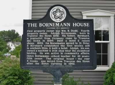
Photographed by K. Linzmeier, July 30, 2013
1. The Bornemann House Marker
Erected 1976 by Nicollet County Bicentennial Commission.
Topics and series. This historical marker is listed in these topic lists: Agriculture • Education • Industry & Commerce • Settlements & Settlers. In addition, it is included in the The Spirit of ’76, America’s Bicentennial Celebration series list. A significant historical year for this entry is 1862.
Location. 44° 19.593′ N, 93° 57.288′ W. Marker is in St. Peter, Minnesota, in Nicollet County. It is at the intersection
this page online

Regionally, this marker is in Southwest Minnesota and specifically in the Minnesota River Valley. It is also in the American Midwest and in the Corn Belt. Globally, it is in North America, the Western Hemisphere, the Western World, and the Anglosphere. Historically, it finds itself in what was once Rupert’s Land, the territory of the Mississippian Culture, and the Louisiana Purchase.
Other nearby markers. At least 8 other markers are within 2 miles of this marker, measured as the crow flies: St. Peter Boat Landing (about 600 feet away, measured in a direct line); Nicollet County Veterans Memorial (approx. 0.4 miles away); The Eugene St. Julien Cox House (approx. half a mile away); Union Presbyterian Church (approx. half a mile away); Gustavus Adolphus College (approx. 0.9 miles away); Traverse des Sioux (approx. 1.6 miles away); A Minority in Their Homeland
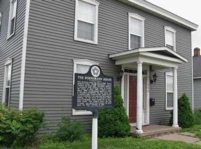
Photographed by K. Linzmeier, July 30, 2013
2. The Bornemann House Marker
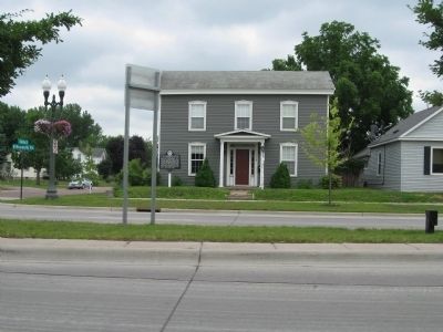
Photographed by K. Linzmeier, July 30, 2013
3. The Bornemann House and Marker
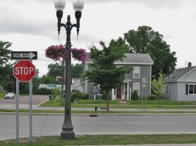
Photographed by K. Linzmeier, July 30, 2013
4. The Bornemann House and Marker
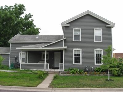
Photographed by K. Linzmeier, July 30, 2013
5. The Bornemann House
Credits. This page was last revised on December 15, 2020. It was originally submitted on August 25, 2013, by Keith L of Wisconsin Rapids, Wisconsin. This page has been viewed 2,843 times since then and 171 times this year. Photos: 1, 2, 3, 4, 5. submitted on August 25, 2013, by Keith L of Wisconsin Rapids, Wisconsin.
