Near Perryville in Boyle County, Kentucky — The American South (East South Central)
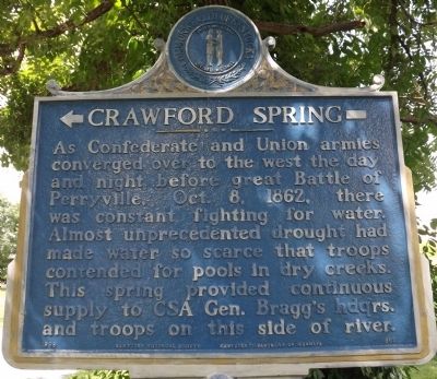
Crawford Springs
Photographed by Ken Smith, August 18, 2013
1. Crawford Springs Marker
Erected 1966 by Kentucky Historical Society & Kentucky Department of Highways. (Marker Number 965.)
Topics and series. This historical marker is listed in this topic list: War, US Civil. In addition, it is included in the Kentucky Historical Society series list. A significant historical year for this entry is 1862.
Location. 37° 39.616′ N, 84° 56.394′ W. Marker is near Perryville, Kentucky, in Boyle County. It is on Harrodsburg Road / North Bragg Street (U.S. 68) near Hardee Street, on the left when traveling south. Touch for map. Marker is in this post office area: Perryville KY 40468, United States of America. Touch for directions.

Regionally, this marker is in the Bluegrass Region. It is also in the American South and specifically in the Upper South.
this page online
Other nearby markers. At least 8 other markers are within walking distance of this marker: Crawford House (within shouting distance of this marker); Site of First Rural Electric Co-Op Substation in County (approx. ¼ mile away); Boyle House (approx. 0.9 miles away); The Perryville Methodist Church (approx. 0.9 miles away); The Dye House (approx. 0.9 miles away); Gravicalymene Hagani (approx. 0.9 miles away); Perryville (approx. 0.9 miles away); James Harbeson (approx. 0.9 miles away). Touch for a list and map of all markers in Perryville.
Photographed by Ken Smith, August 18, 2013
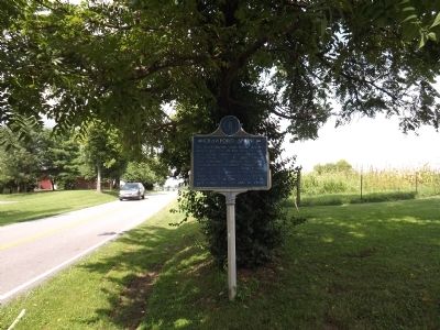
2. Crawford Springs Marker
Photographed by Ken Smith, August 18, 2013
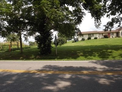
3. Crawford Springs Marker
Photographed by Brandon Fletcher, March 31, 2012
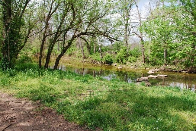
4. Crawford Springs
Credits. This page was last revised on June 16, 2016. It was originally submitted on September 2, 2013, by Ken Smith of Milan, Tennessee. This page has been viewed 1,017 times since then and 34 times this year. Photos: 1, 2, 3. submitted on September 2, 2013, by Ken Smith of Milan, Tennessee. 4. submitted on September 15, 2015, by Brandon Fletcher of Chattanooga, Tennessee. • Al Wolf was the editor who published this page.
