West Ridge in Chicago in Cook County, Illinois — The American Midwest (Great Lakes)
Indian Boundary Park
1916
September 10, 2013
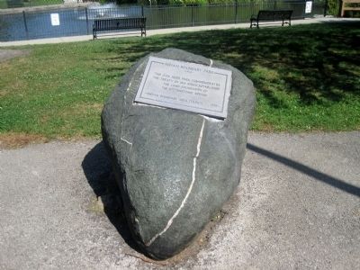
1. Indian Boundary Park Marker
Erected 1979 by Indian Boundary Area Council.
Topics. This historical marker is listed in this topic list: Indigenous Peoples and Communities. A significant historical year for this entry is 1816.
Location. 42° 0.549′ N, 87° 41.532′ W. Marker is in Chicago, Illinois, in Cook County. It is in West Ridge. It can be reached from West Lunt Avenue west of North Western Avenue, on the right when traveling west. Touch for map. Marker is at or near this postal address: 2500 W Lunt Avenue, Chicago IL 60645, United States of America. Touch for directions.

Regionally, this marker is on Chicago’s North Side. It is also in the American Midwest. Globally, it is in North America, on the Great Lakes, in the Western Hemisphere, in the Western World, and in the Anglosphere. Historically, it finds itself in what was once the Viceroyalty of New France, the territory of the Mississippian Culture, and the Northwest Territory.
Other nearby markers. At least 8 other markers are within one mile of this marker,
this page online
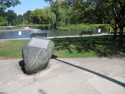
More about this marker. In Indian Boundary Park, on the south side of the lagoon
September 10, 2013
2. Indian Boundary Park Marker
Credits. This page was last revised on January 30, 2023. It was originally submitted on September 10, 2013. This page has been viewed 1,398 times since then and 54 times this year. Photos: 1, 2. submitted on September 10, 2013. • Al Wolf was the editor who published this page.
