Hector in Schuyler County, New York — The American Northeast (Mid-Atlantic)
Peach Orchard
Photographed by Yugoboy, October 13, 2012
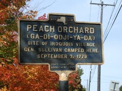
1. Peach Orchard Marker
Site of Iroquois village
Gen. Sullivan camped here
September 3, 1779
Erected 1932 by State Education Department.
Topics. This historical marker is listed in these topic lists: Indigenous Peoples and Communities • Settlements & Settlers • War, US Revolutionary. A significant historical month for this entry is September 1790.
Location. 42° 30.109′ N, 76° 52.408′ W. Marker is in Hector, New York, in Schuyler County. It is on New York State Route 414 0.2 miles north of Tichenor Road, on the right when traveling south. Touch for map. Marker is in this post office area: Hector NY 14841, United States of America. Touch for directions.

Regionally, this marker is in Upstate New York, specifically in Western New York, in the Finger Lakes, and in the Southern Tier. It is also in the American Northeast, in the Mid-Atlantic, in Appalachia, and specifically in Northern Appalachia. Globally, it is in North America, the Western Hemisphere, the Western World, and the Anglosphere. Historically, it finds itself in what was once the Haudenosaunee (Iroquois) Confederacy, New Netherland, and one
this page online
Other nearby markers. At least 8 other markers are within 2 miles of this marker, measured as the crow flies: First Presbyterian Church (about 600 feet away, measured in a direct line); Gen. Hand's Light Corps (about 700 feet away); Early Settler (approx. 0.2 miles away); Saw Mill Creek (approx. ¼ mile away); General Poor's Brigade (approx. half a mile away); General Clinton's Brigade (approx. half a mile away); General Maxwell's Brigade (approx. half a mile away); William Wickham (approx. 1.9 miles away). Touch for a list and map of all markers in Hector.
Photographed by Yugoboy, October 13, 2012
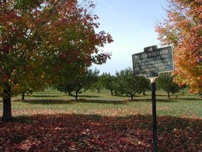
2. Peach Orchard Marker in situ
The ancient peach orchard is today still (again?) an orchard.
Photographed by Yugoboy, October 13, 2012
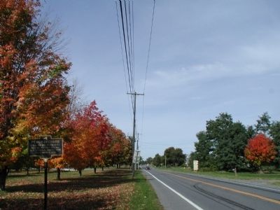
3. Southern Approach to Peach Orchard Marker
Photographed by Yugoboy, October 13, 2012
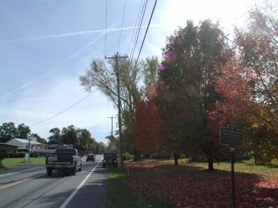
4. Northern Approach to Peach Orchard Marker
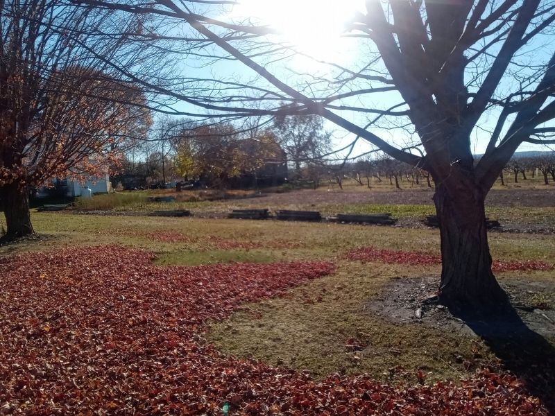
Photographed by Scott J. Payne, November 16, 2024
5. View of the Peach Orchard site looking west towards Seneca Lake.
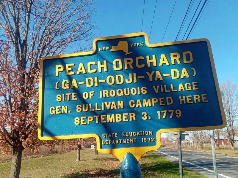
Photographed by Scott J. Payne, November 16, 2024
6. Peach Orchard Marker
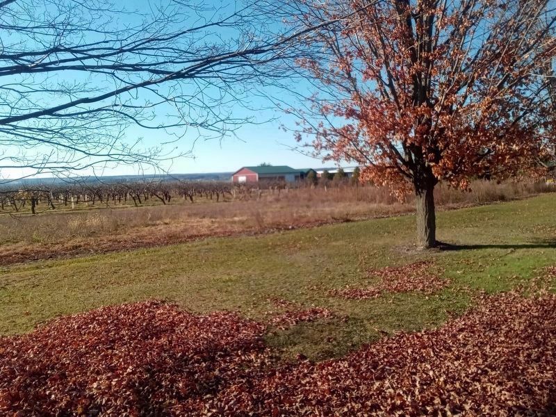
Photographed by Scott J. Payne, November 16, 2024
7. The Peach Orchard
Credits. This page was last revised on January 11, 2025. It was originally submitted on September 12, 2013, by Yugoboy of Rochester, New York. This page has been viewed 1,406 times since then and 84 times this year. Photos: 1, 2, 3, 4. submitted on September 12, 2013, by Yugoboy of Rochester, New York. 5. submitted on November 17, 2024, by Scott J. Payne of Deposit, New York. 6, 7. submitted on December 6, 2024, by Scott J. Payne of Deposit, New York. • Bill Pfingsten was the editor who published this page.
