Sampson in Seneca County, New York — The American Northeast (Mid-Atlantic)
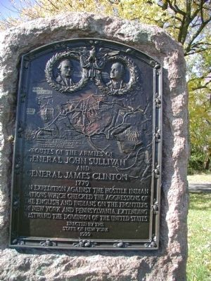
Routes of the armies of General John Sullivan and General James Clinton
1779
Erected 1929 by New York State.
Topics and series. This memorial is listed in these topic lists: Native Americans • War, US Revolutionary. In addition, it is included in the The Sullivan-Clinton Expedition Against the Iroquois Indians series list. A significant historical year for this entry is 1929.
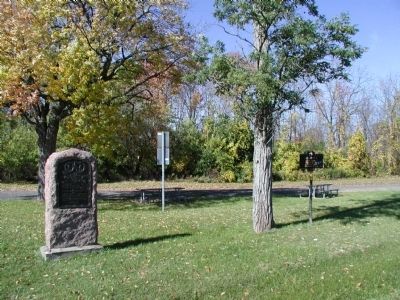
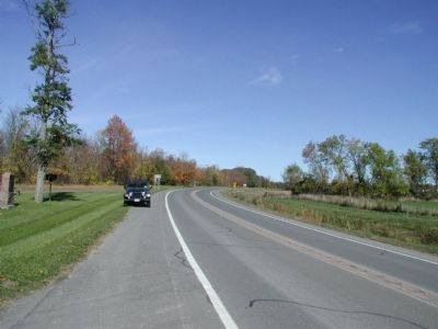
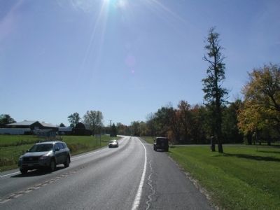
Location. 42° 42.814′ N, 76° 53.598′ W. Marker is in Sampson, New York, in Seneca County. Memorial is on New York State Route 96A, ¼ mile north of Baptist Church Road. This marker is a few feet from Ken-Dai-A marker. Both are in the same rest area along 96A. Touch for map. Marker is in this post office area: Romulus NY 14541, United States of America. Touch for directions.
Other nearby markers. At least 8 other markers are within 2 miles of this marker, measured as the crow flies. Ken-Dai-A (here, next to this marker); William Watts Folwell (approx. 1.1 miles away); The Sampson State Park Experience (approx. 1.1 miles away); U. S. Naval Training Station & Center 1942-1946 (approx. 1.1 miles away); Honoring the Over 100 Dispossessed Families (approx. 1.1 miles away); U.S. Air Force Training Base (approx. 1.1 miles away); Sampson Naval Training Base World War II Honored Dead (approx. 1.2 miles away); T-2C Buckeye (approx. 1.2 miles away).
Credits. This page was last revised on June 16, 2016. It was originally submitted on September 12, 2013, by Yugoboy of Rochester, New York. This page has been viewed 643 times since then and 19 times this year. Photos: 1, 2, 3, 4. submitted on September 12, 2013, by Yugoboy of Rochester, New York. • Bill Pfingsten was the editor who published this page.


