Grantsburg in Burnett County, Wisconsin — The American Midwest (Great Lakes)
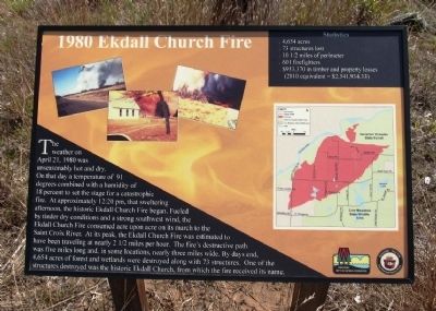
1980 Ekdall Church Fire
Photographed by Paul Fehrenbach, September 12, 2013
1. 1980 Ekdall Church Fire Marker
Erected by Wisconsin Department of Natural Resources.
Topics. This historical marker is listed in these topic lists: Disasters • Environment • Religion & Religious Structures. A significant historical date for this entry is April 21, 1980.
Location. Marker has been reported missing. It was located near 45° 53.748′ N, 92° 39.871′ W.
this page online

Regionally, this marker was in Western Wisconsin. It was also in the American Midwest and in the Corn Belt. Globally, it was in North America, the Great North Woods, the Western Hemisphere, the Western World, and the Anglosphere. Historically, it found itself in what was once the territory of the Mississippian Culture and also the Northwest Territory.
Other nearby markers. At least 4 other markers are within 12 miles of this location, measured as the crow flies: Crex Meadows (approx. 2.1 miles away); A Room With A View (approx. 4.8 miles away in Minnesota); Governor Knowles State Forest (approx. 10.1 miles away); Canute Anderson (approx. 11.6 miles away).
Photographed by Paul Fehrenbach, September 12, 2013
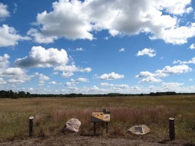
2. 1980 Ekdall Church Fire Marker
Looking southeast from marker site
Photographed by William J. Toman, July 22, 2022
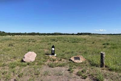
3. Current view of former location of 1980 Ekdall Church Fire Marker
Photographed by William J. Toman, July 22, 2022
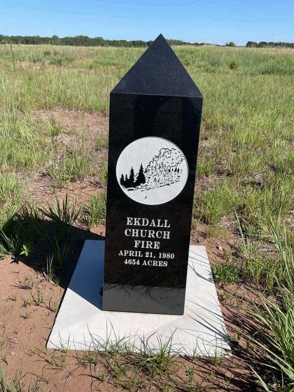
4. Replacement for 1980 Ekdall Church Fire Marker
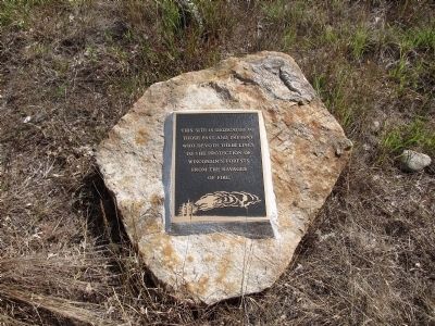
Photographed by Paul Fehrenbach, September 12, 2013
5. Nearby Memorial
Credits. This page was last revised on December 7, 2024. It was originally submitted on September 13, 2013, by Paul Fehrenbach of Richfield, Wisconsin. This page has been viewed 2,115 times since then and 111 times this year. Photos: 1, 2. submitted on September 13, 2013, by Paul Fehrenbach of Richfield, Wisconsin. 3, 4. submitted on July 23, 2022, by William J. Toman of Green Lake, Wisconsin. 5. submitted on September 13, 2013, by Paul Fehrenbach of Richfield, Wisconsin. • Andrew Ruppenstein was the editor who published this page.
