Overgaard in Navajo County, Arizona — The American Mountains (Southwest)
Can You Read the Rocks....?
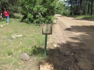
Stop 2
Photographed by Denise Boose, September 1, 2013
1. Can You Read the Rocks....? Marker
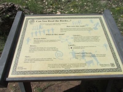
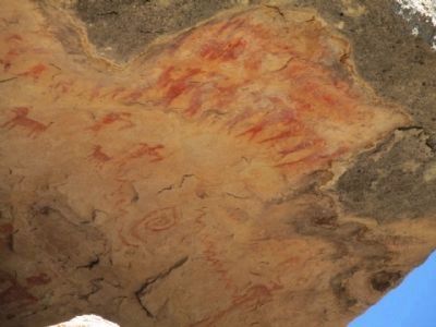
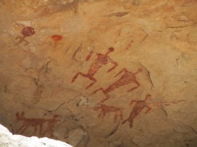
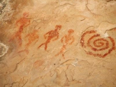
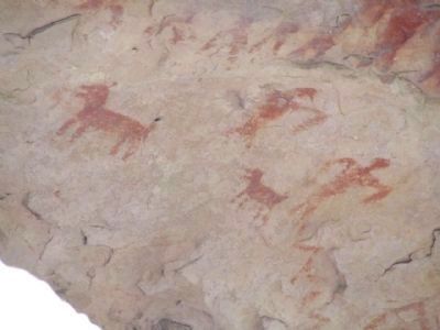
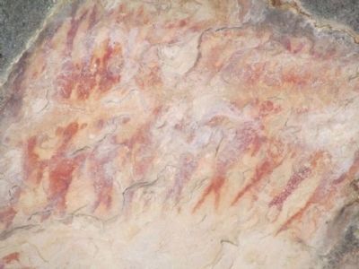
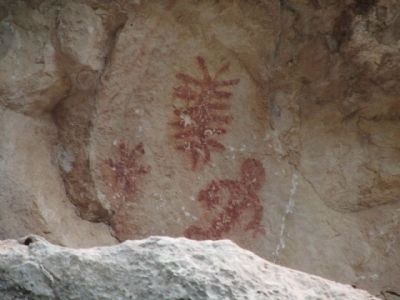
These pictographs were made by Native Americans some 800 to 2,000 years ago.
How were they made?
Paint was made from powdered minerals, charcoal or crushed plants and mixed with a binder such as saliva, blood or vegetable juices. A yucca leaf chewed and frayed at the end made a good paint brush.
Many pictographs have been indentified by Native Americans as representing sacred beings or ceremonies.
History...
Pictographs may tell the story of a noteworthy event, like a successful hunt. Spirals, like the one depicted here, symbolize the travels or migrations of a clan.
Signs...
Other pictographs appear to be trail markers. They may also have marked territorial claims or the presence of water.
Calendars....
Some pictographs were situated so that shadows or sunlight are cast on the images in a certain way only on the solstice or equinox. Archeologists believe these pictographs served as calendars for the Mogollon Indians who lived here long ago.
Legends...
These are pictorgraphs that illustrate characters or event and traditional legends
Good Luck Charm...
Frequently,
this page online
Journey Through Time
"Please do not touch the pictographs. Oil from human skin will damage them and can interfere with dating methods. Do not deface this artwork by adding your own. These irresplaceable masterpieces are easily destroyed."
Erected by Apache-Sitgreaves National Forest.
Topics. This historical marker is listed in this topic list: Indigenous Peoples and Communities.
Location. 34° 23.832′ N, 110° 37.801′ W. Marker is in Overgaard, Arizona, in Navajo County. It is on Black Canyon Road, on the right when traveling west. Black Canyon Road can be accessed from Highway 260. Touch for map. Marker is in this post office area: Overgaard AZ 85933, United States of America. Touch for directions.

Regionally, this marker is on the Mogollon Rim, in the White Mountains, and in Hopi. It is also in the American Southwest, in the Mountain West, and at the Four Corners. Globally, it is in North America, the Western Hemisphere, the Western World, and the Anglosphere. Historically,
Photographed by Denise Boose, September 1, 2013
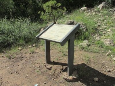
2. Can You Read the Rocks....? Marker
Other nearby markers. At least 3 other markers are within 3 miles of this marker, measured as the crow flies: Imagine Yourself Here Some Nine Hundred Years Ago (approx. 1.2 miles away); Travel on a Journey Through Time... (approx. 1.6 miles away); How Long Has It Been? (approx. 2.4 miles away).
Photographed by Denise Boose, September 1, 2013
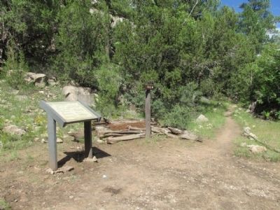
3. Can You Read the Rocks....? Marker
Photographed by Denise Boose, September 1, 2013
4. Auto Tour Marker 2
You can get a map called the Black Canyon Audio Tour from the Black Mesa Ranger Station.
Photographed by Denise Boose, September 1, 2013
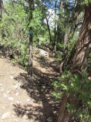
5. Can You Read the Rocks Trail
Follow the trail, but be careful since some areas are steep.
Photographed by Denise Boose, September 1, 2013
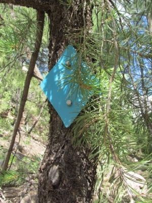
6. Blue Diamond Trail Markers
Photographed by Denise Boose, September 1, 2013
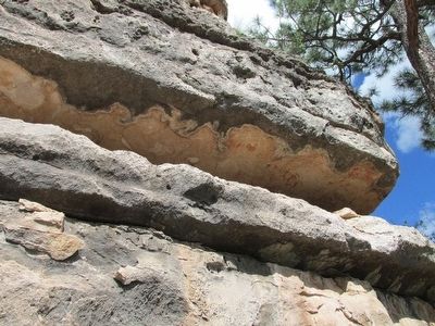
7. Pictographs
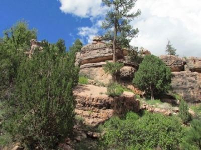
Be careful. They are under a rock cliff and there is a substantial drop.
Photographed by Denise Boose, September 1, 2013
8. Can You Read the Rocks?
Photographed by Denise Boose, September 1, 2013
9. Can You Read the Rocks?
Photographed by Denise Boose, September 1, 2013
10. Can You Read the Rocks?
Photographed by Denise Boose, September 1, 2013
11. Can You Read the Rocks?
Photographed by Denise Boose, September 1, 2013
12. Can You Read the Rocks?
Photographed by Denise Boose, September 1, 2013
13. Can You Read the Rocks?
Photographed by Denise Boose, September 1, 2013
14. Pictographs Rock Cliff.
Credits. This page was last revised on June 16, 2016. It was originally submitted on September 15, 2013, by Denise Boose of Tehachapi, California. This page has been viewed 802 times since then and 26 times this year. Photos: 1, 2, 3, 4, 5, 6, 7, 8, 9, 10, 11, 12, 13, 14. submitted on September 15, 2013, by Denise Boose of Tehachapi, California. • Syd Whittle was the editor who published this page.
