Normangee in Madison County, Texas — The American South (West South Central)
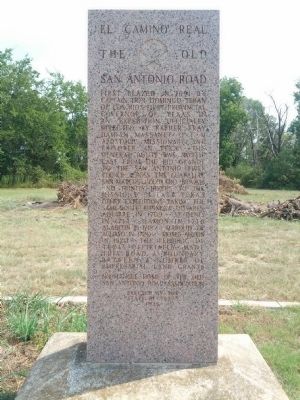
El Camino Real
The Old San Antonio Road
Normangee - Home of the Old San Antonio Road Association
Erected by the State of Texas 1936
Erected 1936 by State of Texas. (Marker Number 9621.)
Topics and series. This historical marker is listed in these topic lists: Exploration • Roads & Vehicles. In addition, it is included in the El Camino Real de los Tejas National Historic Trail, and the Texas 1936 Centennial Markers and Monuments series lists. A significant historical year for this entry is 1691.
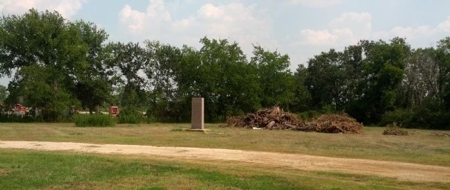
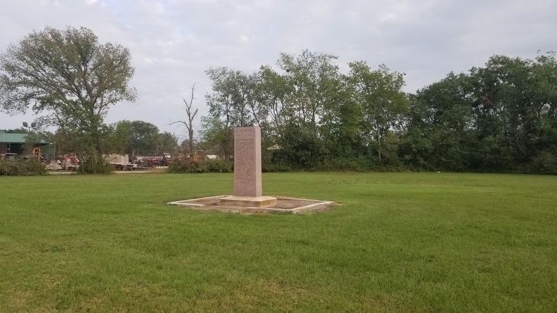
Location. 31° 1.524′ N, 96° 6.92′ W. Marker is in Normangee, Texas, in Madison County . Marker is at the intersection of Old San Antonio Road and Texas Highway 39, on the left when traveling west on Old San Antonio Road. Touch for map. Marker is in this post office area: Normangee TX 77871, United States of America. Touch for directions.
Other nearby markers. At least 8 other markers are within 13 miles of this marker, measured as the crow flies. Kings Highway Camino Real — Old San Antonio Road (approx. 1.3 miles away); a different marker also named Kings Highway Camino Real — Old San Antonio Road (approx. 4.8 miles away); a different marker also named Kings Highway Camino Real — Old San Antonio Road (approx. 7.6 miles away); a different marker also named Kings Highway Camino Real — Old San Antonio Road (approx. 8.7 miles away); Boggy Community (approx. 10.1 miles away); a different marker also named Kings Highway Camino Real — Old San Antonio Road (approx. 11.9 miles away); Site of the First Court House Built in Leon County (approx. 12˝ miles away); CCC Camp Site (approx. 12˝ miles away). Touch for a list and map of all markers in Normangee.
Credits. This page was last revised on October 16, 2020. It was originally submitted on September 15, 2013, by Gregory Walker of La Grange, Texas. This page has been viewed 1,098 times since then and 14 times this year. Photos: 1, 2. submitted on September 15, 2013, by Gregory Walker of La Grange, Texas. 3. submitted on October 16, 2020, by James Hulse of Medina, Texas. • Bernard Fisher was the editor who published this page.


