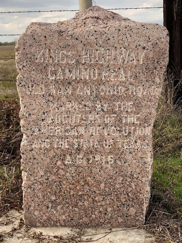
Near Bryan in Brazos County, Texas — The American South (West South Central)
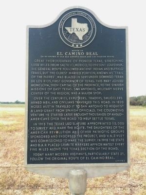
Route of El Camino Real
(Also known as Old San Antonio Road and Old Spanish Road)
Over the centuries, explorers, traders, smugglers, armed men, and civilians traversed this road. In 1820 Moses Austin traveled it to San Antonio to request a land grant from Spanish officials. The colonizing venture he started later brought thousands of Anglo-Americans over the road to help settle Texas.
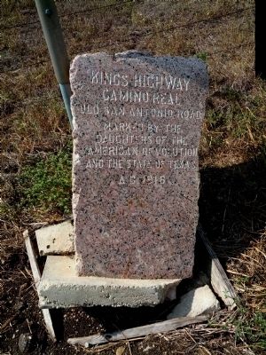
In 1915 the Texas Legislature appropriated $5,000 to survey and mark the route. The Daughters of the American Revolution and other patriotic groups sponsored and endorsed the project, and V.N. Zivley was commissioned to make the survey. In 1918 the state and D.A.R. placed granite markers approximately every five miles along the Texas section of the road.
Today many modern highways, particularly State 21, follow the original route of El Camino Real.
Erected 1973 by State Historical Survey Committee . (Marker Number 8706.)
Topics and series. This historical marker is listed in these topic lists: Exploration • Roads & Vehicles • Settlements & Settlers. In addition, it is included in the Daughters of the American Revolution, and the El Camino Real de los Tejas National Historic Trail series lists. A significant historical year for this entry is 1691.
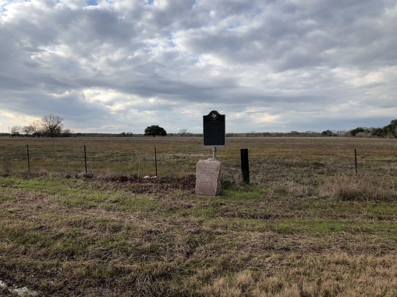
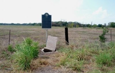
Location. 30° 38.737′ N, 96° 30.34′ W. Marker is near Bryan, Texas, in Brazos County. Marker is on Old San Antonio Road, 0.2 miles north of Texas Highway 21, on the right when traveling west. Touch for map. Marker is in this post office area: Bryan TX 77807, United States of America. Touch for directions.
Other nearby markers. At least 8 other markers are within 4 miles of this marker, measured as the crow flies. Kings Highway Camino Real — Old San Antonio Road (here, next to this marker); Bryan Air Force Base (approx. 2.2 miles away); The Annex (approx. 2.2 miles away); Kings Highway - Camino Real — Old San Antonio Road (approx. 2.7 miles away); Moseley's Ferry (approx. 2.7 miles away); Brazos River Levee (approx. 2.8 miles away); San Salvador Mission Church (approx. 3.2 miles away); a different marker also named Kings Highway Camino Real — Old San Antonio Road (approx. 4.1 miles away). Touch for a list and map of all markers in Bryan.
Credits. This page was last revised on May 24, 2023. It was originally submitted on September 15, 2013, by Gregory Walker of La Grange, Texas. This page has been viewed 1,488 times since then and 57 times this year. Photos: 1. submitted on September 15, 2013, by Gregory Walker of La Grange, Texas. 2. submitted on February 7, 2019, by Brian Anderson of Humble, Texas. 3, 4. submitted on September 15, 2013, by Gregory Walker of La Grange, Texas. 5. submitted on February 7, 2019, by Brian Anderson of Humble, Texas. • Bernard Fisher was the editor who published this page.
