Cartersville in Bartow County, Georgia — The American South (South Atlantic)
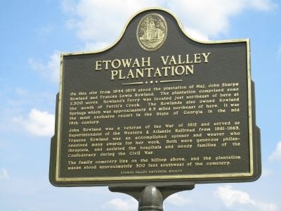
Etowah Valley Plantation
John Rowland was a veteran of the War of 1812 and served as Superintendent of the Western & Atlantic Railroad from 1861-1863. Frances Rowland was an accomplished spinner and weaver who received many awards for her work. Both were generous philanthropists, and assisted the hospitals and needy families of the Confederacy during the Civil War.
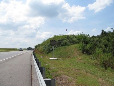
The family lies on the hilltop above, and the plantation manse stood approximately 300 feet southwest of the cemetery.
Erected by Etowah Valley Historical Society.
Topics. This historical marker is listed in these topic lists: Agriculture • Charity & Public Work • Settlements & Settlers • War of 1812 • War, US Civil. A significant historical year for this entry is 1812.
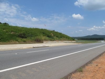
Location. 34° 7.996′ N, 84° 50.889′ W. Marker is in Cartersville, Georgia, in Bartow County. Marker is on Rockmart Highway (Georgia Route 113) 0.4 miles east of Dallas Highway SW (Georgia Route 61), on the right when traveling west. Touch for map. Marker is in this post office area: Cartersville GA 30120, United States of America. Touch for directions.
Other nearby markers. At least 8 other markers are within 4 miles of this marker, measured as the crow flies. Etowah (Tumlin) Mounds (approx. 2.3 miles away); Raccoon Creek (approx. 2˝ miles away); Site of Sam Jones' Tabernacle (approx. 3.2 miles away); Home of Sam P. Jones (approx. 3.4 miles away); First Presbyterian Church (approx. 3˝ miles away); Milam's Bridge (approx. 3.6 miles away); Amos T. Akerman (1821-1880) (approx. 3.6 miles away); Amos T. Akerman (approx. 3.7 miles away). Touch for a list and map of all markers in Cartersville.
Credits. This page was last revised on January 26, 2020. It was originally submitted on September 19, 2013, by Judith Barber of Marietta, Georgia. This page has been viewed 1,856 times since then and 71 times this year. Photos: 1, 2, 3. submitted on September 19, 2013, by Judith Barber of Marietta, Georgia. • Bernard Fisher was the editor who published this page.


