Near Edgerton in Williams County, Ohio — The American Midwest (Great Lakes)
Cedar Hill Farm
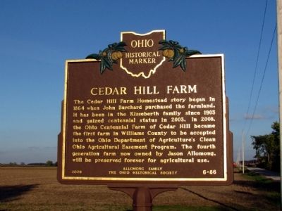
The Cedar Hill Farm Homestead story began in 1864 when John Burchard purchased the farmland. It has been in the Kisseberth family since 1903 and gained centennial status in 2003. In 2008, the Ohio Centennial Farm of Cedar Hill became the first farm in Williams County to be accepted into the Ohio Department of Agriculture's Clean Ohio Agricultural Easement Program. The fourth generation farm now owned by Jason Allomong, will be preserved forever for agricultural use.
Erected 2009 by Allomong Family and the Ohio Historical Society. (Marker Number 6-86.)
Topics and series. This historical marker is listed in this topic list: Agriculture. In addition, it is included in the Ohio Historical Society / The Ohio History Connection series list. A significant historical year for this entry is 1864.
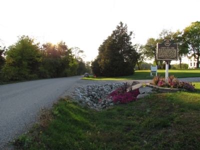
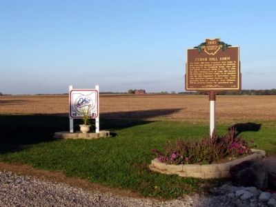
Location. 41° 27.97′ N, 84° 43.656′ W. Marker is near Edgerton, Ohio, in Williams County. Marker is on County Road C.75, 0.1 miles east of County Road 5, on the left when traveling east. Touch for map. Marker is in this post office area: Edgerton OH 43517, United States of America. Touch for directions.
Other nearby markers. At least 8 other markers are within 7 miles of this marker, measured as the crow flies. Edgerton Fire Bell (approx. 1.6 miles away); Edgerton Civil War Monument (approx. 1.6 miles away); Edgerton Town Hall & Park Opera House (approx. 1.6 miles away); Denmark (approx. 1.7 miles away); Saint Mary School (approx. 1.8 miles away); Edgerton Veterans Memorial (approx. 1.9 miles away); Edgar "Mr. Pop" Buell (approx. 6.6 miles away); G. Kent Adams (approx. 6.7 miles away). Touch for a list and map of all markers in Edgerton.
Credits. This page was last revised on April 22, 2022. It was originally submitted on October 5, 2013, by Duane Hall of Abilene, Texas. This page has been viewed 704 times since then and 34 times this year. Photos: 1, 2, 3. submitted on October 5, 2013, by Duane Hall of Abilene, Texas.


