San Marcos in Hays County, Texas — The American South (West South Central)
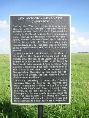
Gen. Antonio Gaona’s 1836 Campaign
Gaona served the Republic of Mexico throughout the Texas Campaign of 1836. Shortly after the fall of the Alamo on March 6, he arrived in San Antonio de Bexar. On March 24 Mexican dictator Antonio Lopez de Santa Anna directed Gaona to lead the Morelos Battalion and The Guanajuato Auxiliaries eastward to Nacogdoches. Marching up this road, his 725-man division crossed the San Marcos River at the low-water ford here.
While attempting to cross the flooded Colorado River at Bastrop, he received new orders to bring his division to San Felipe and rejoin Santa Anna’s main force. He lost his way, however, in the pine forest east of Bastrop. Consequently, he was unable to rendezvous for battle at San Jacinto. Following the Texas victory, Gaona withdrew his forces to Bexar and then southward to a point below the Rio Grande.
Topics. This historical marker is listed in these topic lists: Hispanic Americans • Roads & Vehicles • War, Texas Independence. A significant historical year for this entry is 1821.
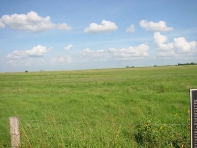
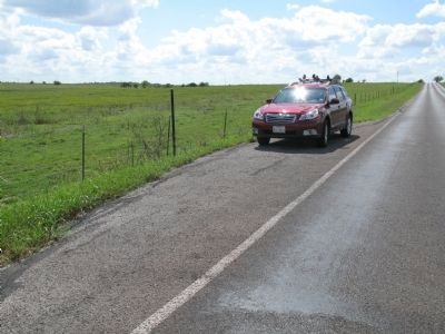
Location. Marker has been reported missing. It was located near 29° 50.73′ N, 97° 54.574′ W. Marker was in San Marcos, Texas, in Hays County. Marker was on North Old Bastrop Road (County Route 266) 0.3 miles north of Staples Road (County Route 621), on the right when traveling north. Touch for map. Marker was in this post office area: San Marcos TX 78666, United States of America. Touch for directions.
Other nearby markers. At least 8 other markers are within 2 miles of this location, measured as the crow flies. Kings Highway (approx. 0.3 miles away); Lt. Zebulon M. Pike (approx. one mile away); Don Felipe Roque de la Portilla (approx. one mile away); Site of the First Town of San Marcos (approx. one mile away); Charles Lewis McGehee Cabin (approx. one mile away); Col. Ignacio Elizondo’s 1813 Campaign (approx. 1.1 miles away); McGehee Crossing (approx. 1.9 miles away); Cheatham-Hohenberg Cemetery (approx. 1.9 miles away). Touch for a list and map of all markers in San Marcos.
Also see . . . Article on the marker dedication (pdf file). Describes the dedication of this and other markers on this stretch of the Camino Real. (Submitted on October 7, 2013, by Richard Denney of Austin, Texas.)
Credits. This page was last revised on June 16, 2016. It was originally submitted on October 7, 2013, by Richard Denney of Austin, Texas. This page has been viewed 1,178 times since then and 91 times this year. Photos: 1, 2, 3, 4. submitted on October 7, 2013, by Richard Denney of Austin, Texas. • Bernard Fisher was the editor who published this page.


