Redwood Falls in Redwood County, Minnesota — The American Midwest (Upper Plains)
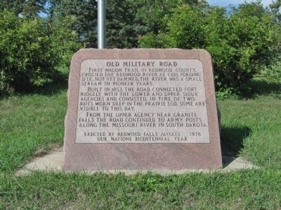
Old Military Road
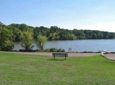
First wagon trail in Redwood County, crossed the Redwood River at this fording site. Not yet dammed, the river was a small stream in pioneer years.
Built in 1853, the road connected Fort Ridgely with the Lower and Upper Sioux Agencies and consisted, in time, of two ruts worn deep in the prairie sod. Some are visible to this day.
From the Upper Agency near Granite Falls the road continued to army posts along the Missouri River in South Dakota.
Our Nations Bicentennial Year
Erected 1976 by the Redwood Falls Jaycees.
Topics. This historical marker is listed in this topic list: Roads & Vehicles. A significant historical year for this entry is 1853.
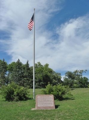
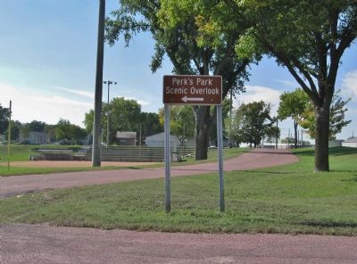
Location. 44° 32.453′ N, 95° 7.419′ W. Marker is in Redwood Falls, Minnesota, in Redwood County. Marker can be reached from West Bridge Street (State Highway 19 / 67) near North Grove Street, on the left when traveling west. Marker is at Perk's Park. Touch for map. Marker is at or near this postal address: 320 West Bridge Street, Redwood Falls MN 56283, United States of America. Touch for directions.
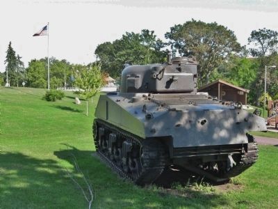
Other nearby markers. At least 8 other markers are within 7 miles of this marker, measured as the crow flies. Clayton H. Pickett / The General Sherman (within shouting distance of this marker); Geology of the Redwood Falls Region (approx. 0.9 miles away); Civil War Monument (approx. 1.4 miles away); Wowinape or Thomas Wakeman (approx. 1.4 miles away); Richard Sears Memorial Park (approx. 2.1 miles away); Lower Sioux Veterans Memorial (approx. 6.3 miles away); Mdewakanton Ehdakupi Wanagi Makoce (approx. 6.3 miles away); St. Cornelia's Church (approx. 6.3 miles away). Touch for a list and map of all markers in Redwood Falls.
Also see . . . History of Redwood Falls. (Submitted on October 11, 2013.)
Credits. This page was last revised on June 16, 2016. It was originally submitted on October 11, 2013, by Keith L of Wisconsin Rapids, Wisconsin. This page has been viewed 655 times since then and 38 times this year. Photos: 1, 2, 3, 4, 5. submitted on October 11, 2013, by Keith L of Wisconsin Rapids, Wisconsin.
