Southside Historic District in Chattanooga in Hamilton County, Tennessee — The American South (East South Central)
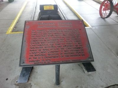
Terminal Station
Chattanooga, Tennessee
Photographed by Don Morfe, July 27, 2013
1. Terminal Station Marker
Erected by Tennessee Historical Commission.
Topics and series. This historical marker is listed in this topic list: Railroads & Streetcars. In addition, it is included in the Tennessee Historical Commission series list. A significant historical month for this entry is January 1800.
Location. 35° 2.268′ N, 85° 18.402′ W. Marker is in Chattanooga, Tennessee, in Hamilton County. It is in the Southside Historic District. It is on Market Street north of Main Street. Touch for map. Marker is in this post office area: Chattanooga TN 37402, United States of America. Touch for directions.

Regionally,
this page online
Other nearby markers. At least 8 other markers are within walking distance of this marker: Military History of Chattanooga (within shouting distance of this marker); Chattanooga, a City of Historical Significance (within shouting distance of this marker); Chattanooga's Railroads (within shouting distance of this marker); The Chattanooga Choo-Choo Hotel (within shouting distance of this marker); The Chattanooga Choo-Choo (within shouting distance of this marker); a different marker also named Chattanooga Choo-Choo (about 300 feet away, measured in a direct line); Dedication of Rose Garden to all Veterans (about 400 feet away); A point in the 2D Line of Works (approx. 0.4 miles away). Touch for a list and map of all
Photographed by Don Morfe, July 27, 2013
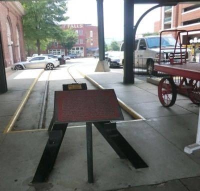
2. Terminal Station Marker
Other markers no longer nearby. Center of Fort Phelps (was approx. 0.2 miles away but has been confirmed missing); a different marker also named Center of Fort Phelps (was approx. 0.2 miles away but has been confirmed missing); Point in the 2D Line of Works (was approx. ¼ mile away but has been confirmed missing); East Angle of Fort Phelps (was approx. 0.3 miles away but has been confirmed missing); Southeast Angle of Fort Phelps (was approx. 0.3 miles away but has been confirmed missing).
Photographed by Don Morfe, July 27, 2013
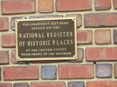
3. National Register of Historic Places plaque

Photographed by Don Morfe, July 27, 2013
4. Terminal Station Marker
Photographed by Don Morfe, July 27, 2013
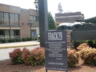
5. Terminal Station Marker
TRACK 29-The Mississippi Delta was shining like a National guitar. I am following the river. Down the highway through the cradle of the civil war. I’m going to Graceland. Graceland in Memphis Tennessee. I’m going to Graceland-Paul Simon.
Good-Bye, Good-Bye! Like us to stay up todate-Track 29
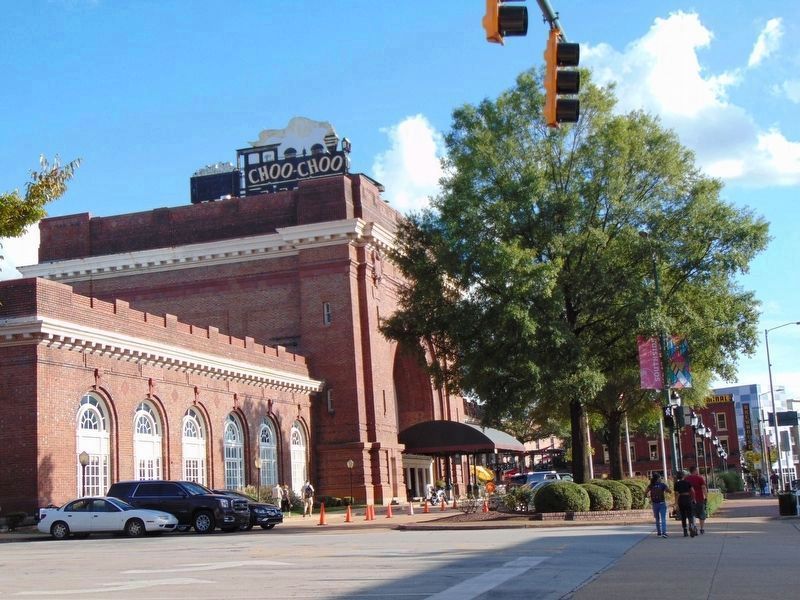
Photographed by Leah Tibbs, September 29, 2018
6. Terminal Station
Street View of the station.
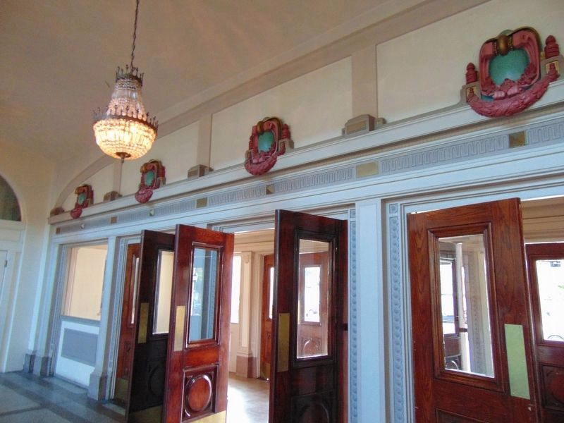
Photographed by Leah Tibbs, January 1, 2013
7. Terminal Station Doors
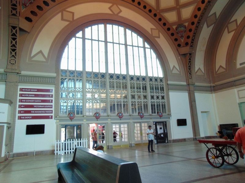
Photographed by Leah Tibbs, January 1, 2013
8. Terminal Station Street Exit
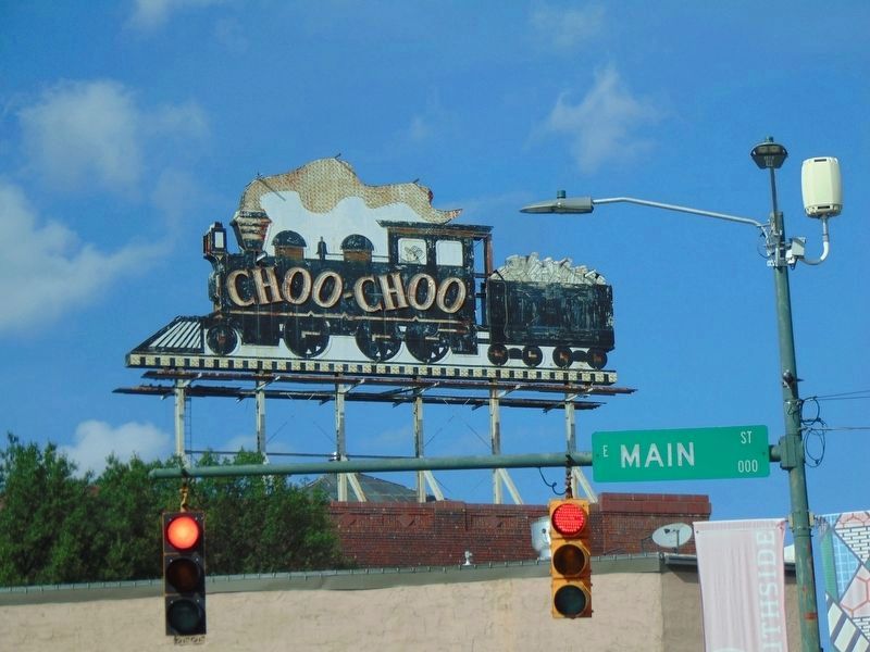
Photographed by Leah Tibbs, January 1, 2013
9. Choo-Choo Sign Atop Terminal Station
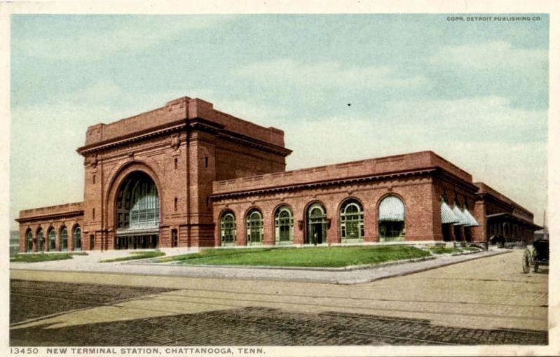
Detroit Publishing Co. (courtesy of the University of Tennessee at Chattanooga), circa 1910
10. New Terminal Station, Chattanooga, Tenn.
Credits. This page was last revised on February 7, 2023. It was originally submitted on October 13, 2013, by Don Morfe of Baltimore, Maryland. This page has been viewed 832 times since then and 38 times this year. Photos: 1, 2, 3, 4, 5. submitted on October 13, 2013, by Don Morfe of Baltimore, Maryland. 6, 7, 8. submitted on June 6, 2019, by David Tibbs of Resaca, Georgia. 9. submitted on June 7, 2019, by David Tibbs of Resaca, Georgia. 10. submitted on June 7, 2019. • Al Wolf was the editor who published this page.
