Osawatomie in Miami County, Kansas — The American Midwest (Upper Plains)
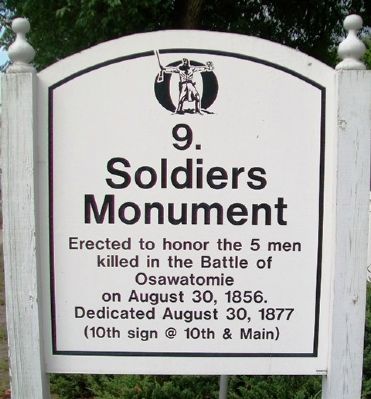
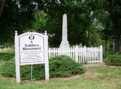
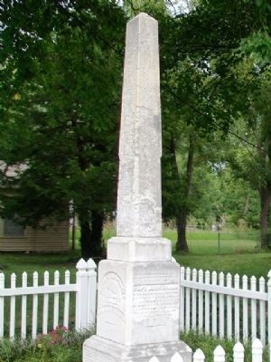
Soldiers Monument
Osawatomie Driving Tour
Dedicated August 30, 1877
——————————
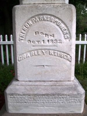
[Monument inscription reads]
In commemoration of those who on the 30th of August, 1856, gave up their lives at the Battle of Osawatomie in defence of freedom.
Theron Parker Powers
Born Oct. 1, 1832.
Charley Keiser
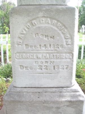
David R. Garrison
Born Dec. 14, 1826.
George W. Partridge
Born Dec. 22, 1827.
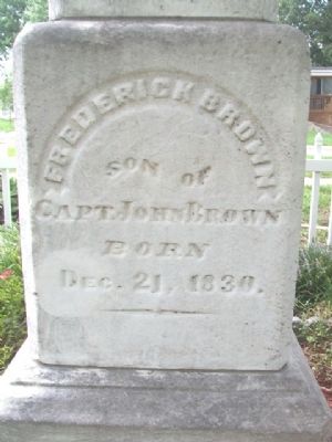
Frederick Brown
Son of Capt. John Brown
Born Dec. 21, 1830.
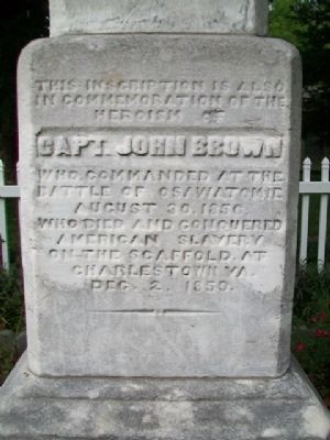
This inscription is also in commemoration of the heroism of
Capt. John Brown
who commanded at the
Battle of Osawatomie
August 30, 1856;
who died and conquered American slavery on the scaffold at Charlestown Va.
Dec. 2, 1859
Topics and series. This historical marker and monument is listed in this topic list: Abolition & Underground RR. In addition, it is included in the Kansas, Osawatomie Driving Tour series list. A significant historical month for this entry is December 1863.
Location. 38° 29.885′ N, 94° 57.396′ W. Marker is in Osawatomie, Kansas, in Miami County. Marker is at the intersection of Main Street and 9th Street, on the right when traveling west on Main Street. Touch for map. Marker is in this post office area: Osawatomie KS 66064, United States of America. Touch for directions.
Other nearby markers. At least 8 other markers are within walking distance of this marker. Site of the Battle of Osawatomie (about 600 feet away, measured in a direct line); John Brown of Kansas (about 700 feet away); John Brown Statue (about 700 feet away); Battle of Osawatomie (about 700 feet away); John Brown Battleground (about 700 feet away); a different marker also named Battle of Osawatomie (about 700 feet away); T. B. Williams and J. B. Remington (about 700 feet away); a different marker also named Battle of Osawatomie (approx. 0.2 miles away). Touch for a list and map of all markers in Osawatomie.
Also see . . . The Soldiers Monument. City website entry (Submitted on October 14, 2013, by William Fischer, Jr. of Scranton, Pennsylvania.)
Credits. This page was last revised on September 6, 2022. It was originally submitted on October 14, 2013, by William Fischer, Jr. of Scranton, Pennsylvania. This page has been viewed 544 times since then and 21 times this year. Photos: 1, 2, 3, 4, 5, 6, 7. submitted on October 14, 2013, by William Fischer, Jr. of Scranton, Pennsylvania.
