Near Battle Ground in Tippecanoe County, Indiana — The American Midwest (Great Lakes)
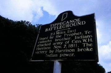
Tippecanoe Battleground
2.1 Miles East
Erected by Indiana Historical Bureau. (Marker Number 79.1947.1.)
Topics and series. This historical marker is listed in these topic lists: War of 1812 • Wars, US Indian. In addition, it is included in the Indiana Historical Bureau Markers series list. A significant historical date for this entry is October 7, 1922.
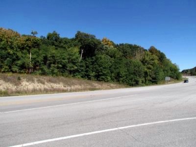
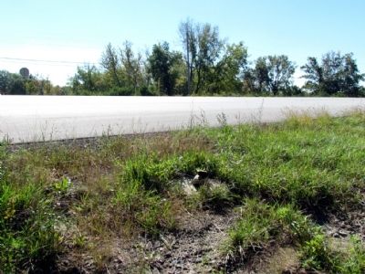
Location. Marker is missing. It was located near 40° 29.509′ N, 86° 52.191′ W. Marker was near Battle Ground, Indiana, in Tippecanoe County. Marker was at the intersection of N. River Road (State Road 43) and Burnetts Road, on the right when traveling south on N. River Road. Touch for map. Marker was in this post office area: Battle Ground IN 47920, United States of America. Touch for directions.
Other nearby markers. At least 8 other markers are within 2 miles of this location, measured as the crow flies. Prophet’s Rock (approx. 1.3 miles away); Tecumseh Trail (approx. 1˝ miles away); Tippecanoe Battlefield Memorial (approx. 1.7 miles away); Stricken Down in the Performance of Duty (approx. 1.7 miles away); Potawatomi ‘Trail of Death’ Route (approx. 1.7 miles away); The Battle of Tippecanoe (approx. 1.7 miles away); The Methodist Camp (approx. 1.7 miles away); World War I Veterans Memorial (approx. 2.1 miles away). Touch for a list and map of all markers in Battle Ground.
More about this marker. As of October 2013, the Indiana Historical Bureau stated the marker and post are damaged and in storage and a replacement marker is pending.
Credits. This page was last revised on August 7, 2020. It was originally submitted on October 15, 2013, by Duane Hall of Abilene, Texas. This page has been viewed 580 times since then and 8 times this year. Photos: 1, 2, 3. submitted on October 15, 2013, by Duane Hall of Abilene, Texas.


