Croom in Prince George's County, Maryland — The American Northeast (Mid-Atlantic)
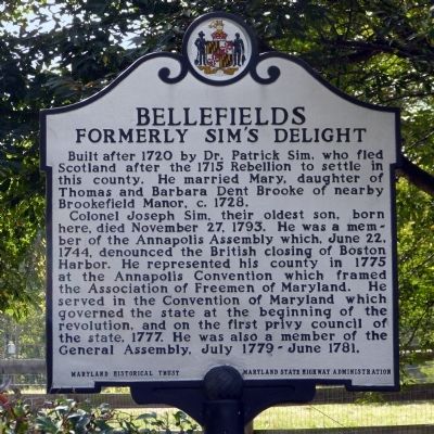
Bellefields
Formerly Sim's Delight
Photographed by Allen C. Browne, October 15, 2013
1. Bellefields Marker
Colonel Joseph Sim, their oldest son, born here, died November 27, 1793. He was a member of the Annapolis Assembly which, June 22, 1744(sic) denounced the British closing of Boston Harbor. He represented his county in 1775 at Annapolis Convention which framed the Association of Freemen of Maryland. He Served in the Convention of Maryland which governed the state at the beginning of the revolution, and on the first privy council of the state, 1777. He was also a member of the General Assembly, July 1779 - June 1781.
Erected 2001 by Maryland Historical Trust -- Maryland State Highway Administration.
Topics and series. This historical marker is listed in these topic lists: African Americans • Colonial Era • War of 1812 • War, US Revolutionary. In addition, it is included in the Maryland Historical Trust series list. A significant historical date for this entry is June 22, 1772.
Location. 38° 44.705′ N, 76° 46.601′ W.
this page online

Regionally, this marker is in the Washington Metropolitan Area. It is also in the American South, specifically in the Upper South, in the Mid-Atlantic, and on the Eastern Seaboard. Globally, it is in the North Atlantic Region, North America, the Western Hemisphere, the Western World, and the Anglosphere. Historically, it finds itself in what was once one of the original Thirteen Colonies and also the Antebellum South.
Other nearby markers. At least 8 other markers are within 3 miles of this marker, measured as the crow flies: St. Simon's Episcopal Mission (approx. 0.9 miles away); St. Thomas' Parish Church (approx. one mile away); Enemy Bluff (approx. one mile away); Bishop Thomas John Claggett (approx. one mile away); St. Simon's Mission, 1896 (approx. 1.1 miles away); Croom (approx. 1.3 miles away); Cheltenham United Methodist Church (approx.
National Park Service, Thomas Stone National Historic Site, June 24, 2019
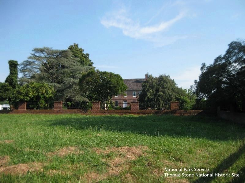
2. Bellefields exterior.
Viewing structure from the south.
More about this marker. 1744 should read 1774.
Also see . . . $20 reward for Frederick Hall. Blue-eyed Slave Runs Away from Plantation in the Vicinity of Upper Marlboro - May 10 1814. Beyond the Battle of Bladensburg, John Peter Thompson, Friday, May 10, 2013. (Submitted on October 16, 2013, by Allen C. Browne of Silver Spring, Maryland.)
Additional commentary.
1. The War of 1812
Secretary of State James Monroe (later President) and Brigadier General Winder used Bellefields to observe the movement of British troops toward Upper Marlboro on August 22, 1814. It was at that time the home of Major Benjamin Oden.
Fair skinned 21-year-old Frederick Hall was enslaved at Bellefields. He escaped in May of 1814, changed his name to William Williams and joined the 38th U.S. Infantry. He was mortally wounded at Fort McHenry when his leg was blown off by a bomb fragment.
— Submitted October 16, 2013, by Allen C. Browne of Silver Spring, Maryland.
National Park Service, Thomas Stone National Historic Site, June 24, 2019
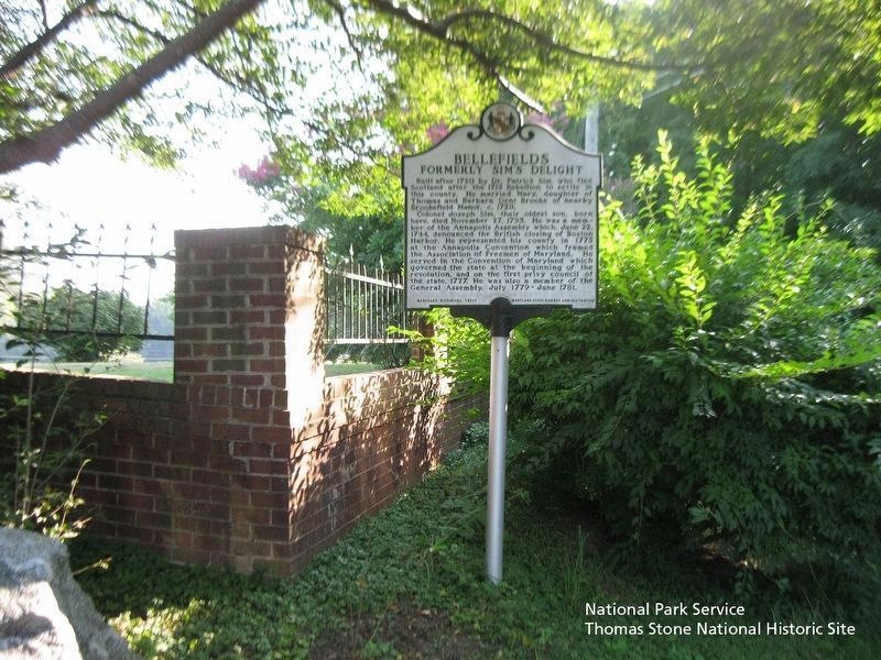
3. Bellefields Marker
Viewing marker from the west.
Photographed by Allen C. Browne, October 15, 2013
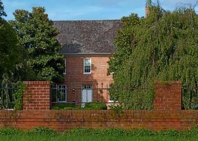
4. Bellefields
This private house can only be glimpsed from a distance.
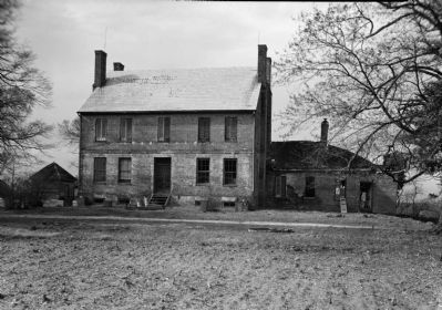
Photographed by John O. Bostrup, April 6, 1936
5. Bellefields
This view of Bellefields was taken in 1936 for the Historic American Buildings Survey.
Credits. This page was last revised on December 29, 2024. It was originally submitted on October 16, 2013, by Allen C. Browne of Silver Spring, Maryland. This page has been viewed 1,999 times since then and 35 times this year. Photos: 1. submitted on October 16, 2013, by Allen C. Browne of Silver Spring, Maryland. 2, 3. submitted on August 9, 2019. 4, 5. submitted on October 16, 2013, by Allen C. Browne of Silver Spring, Maryland. • Bill Pfingsten was the editor who published this page.
