Jersey City in Hudson County, New Jersey — The American Northeast (Mid-Atlantic)
Changes in the Land
Photographed by Bill Coughlin, October 16, 2013
1. Changes in the Land Marker
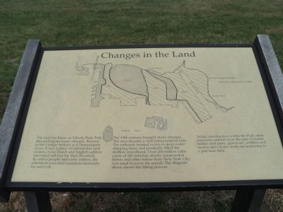
The land we know as Liberty State Park has undergone many changes. Known to the Lenape Indians as Communipaw Cove, it was a place of saltmarshes and oysters. Later Dutch and English settlers harvested salt hay for their livestock. To native people and early settlers, the saltmarsh provided resources necessary for survival.
The 19th century brought many changes. The area became a vital transportation hub. The railroads needed access to deep water shipping lanes and gradually filled the shallow marshlands. Over 200 million cubic yards of fill material, mostly construction debris and other refuse from New York City, was used to cover the marsh. The diagram above shows the filling process.
Today, construction within the Park often uncovers artifacts from the past. Ceramic bottles and pipes, glassware, artillery and twelve inch oyster shells are testimony to a previous time.
Topics. This historical marker is listed in these topic lists: Colonial Era • Railroads & Streetcars.
Location. 40° 41.932′ N, 74° 2.982′ W. Marker is in Jersey City, New Jersey, in Hudson County. It
this page online

Regionally, this marker is in New Jersey’s North Jersey, in Greater Newark, and in the New York City Metropolitan Area. It is also in the American Northeast, in the Mid-Atlantic, and on the Eastern Seaboard. Globally, it is in the North Atlantic Region, North America, the Western Hemisphere, the Western World, and the Anglosphere. Historically, it finds itself in what was once New Netherland and also one of the original Thirteen Colonies.
Other nearby markers. At least 8 other markers are within walking distance of this marker: The Historic Trilogy (about 400 feet away, measured in a direct line); The Salt Marsh (approx. 0.2 miles away); The New Ferry Building – Ellis Island (approx. half a mile away); The South Side of Ellis Island (approx. half a mile away); The American Immigrant Wall of Honor ® (approx. 0.6 miles away in New York); Liberation (approx. 0.6 miles
Photographed by Bill Coughlin, October 16, 2013
2. Changes in the Land Marker
Another marker is no longer nearby. Morris Pesin’s Legendary Canoe Trip Which Launched Liberty State Park (was approx. 0.6 miles away but has been confirmed missing).
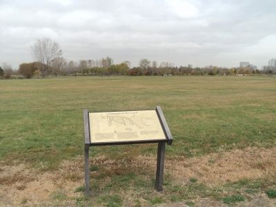
More about this marker. A map at the top of the marker shows the original outlines of Liberty Island. Ellis Island and Jersey City and how they increased over the years.
Photographed by Bill Coughlin, October 16, 2013
3. Changes in the Land Marker
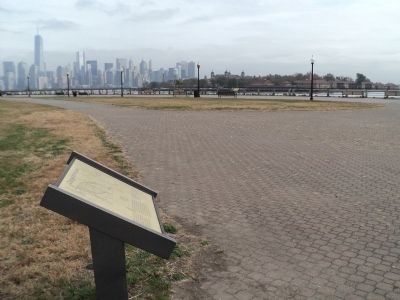
Ellis Island can be seen across the water from the marker.
Photographed by Bill Coughlin, October 16, 2013
4. Changes in the Land Marker
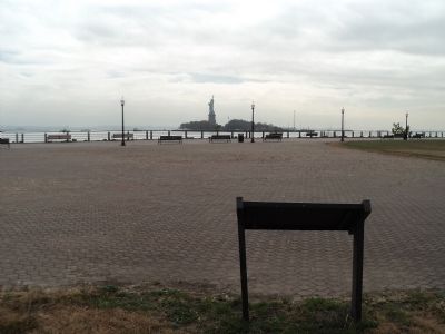
The Statue of Liberty is visible in the background.
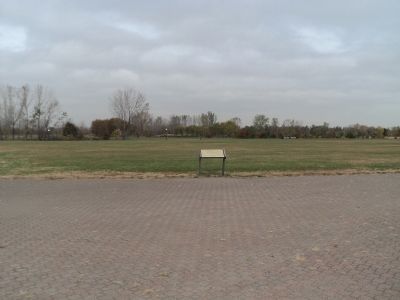
Photographed by Bill Coughlin, October 16, 2013
5. Marker in Liberty State Park
Credits. This page was last revised on June 16, 2016. It was originally submitted on October 16, 2013, by Bill Coughlin of Woodland Park, New Jersey. This page has been viewed 734 times since then and 20 times this year. Photos: 1, 2, 3, 4, 5. submitted on October 16, 2013, by Bill Coughlin of Woodland Park, New Jersey.
