Central Arlington in Tarrant County, Texas — The American South (West South Central)
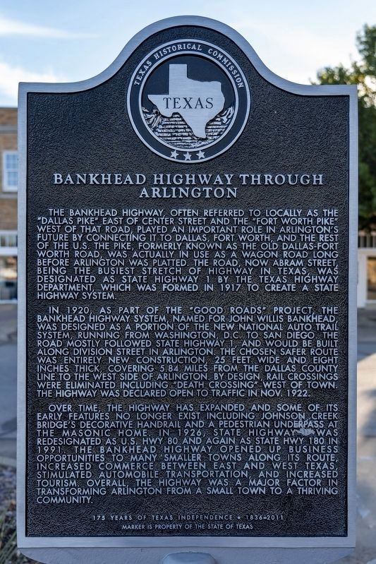
Bankhead Highway Through Arlington
Photographed by Mansfieldphoto.com, November 23, 2025
1. Bankhead Highway Through Arlington Marker
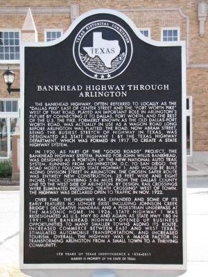
In 1920, as part of the “Good Roads” project, the Bankhead Highway system, named for John Willis Bankhead, was designed as a portion of the new National Auto Trail system, running from Washington, D.C. to San Diego. The road mostly followed State Highway 1, and would be built along Division Street in Arlington. The chosen safer route was entirely new construction, 25 feet wide and eight inches thick, covering 5.84 miles from the Dallas County line to the west side of Arlington. By design, rail crossings were eliminated including “Death Crossing” west of town. The Highway was declared open to traffic in Nov. 1922.
Over time, the Highway has expanded and some of its early features no longer exist including Johnson Creek Bridge's decorative handrail and a pedestrian underpass at the Masonic Home. In 1926, State Highway 1 was redesigned as U.S. Hwy 80 and again as State Hwy 180 in 1991. The Bankhead Highway opened up business opportunities to many smaller towns along its route, increased commerce between east and west Texas, stimulated automobile transportation, and increased tourism. Overall the Highway was a major factor in transforming Arlington from a small town to a thriving community.
Marker is property of the State of Texas
Erected 2011
this page online
Topics. This historical marker is listed in these topic lists: Industry & Commerce • Roads & Vehicles. A significant historical month for this entry is October 1922.
Location. 32° 44.33′ N, 97° 6.422′ W. Marker is in Arlington, Texas, in Tarrant County. It is in Central Arlington. It is at the intersection of North Center Street and East Division Street (State Highway 180), on the right when traveling south on North Center Street. Touch for map. Marker is in this post office area: Arlington TX 76011, United States of America. Touch for directions.

Regionally, this marker is in the Prairies & Lakes Region and in the Dallas-Fort Worth Metropolitan Area. It is also in the American South. Globally, it is in North America, a Gulf of Mexico state, the Western Hemisphere, the Western World, and the Anglosphere. Historically, it finds itself in what was once New Spain, the Republic of Texas, and one of the Confederate States of America.
Other nearby markers. At least 8 other markers are within walking distance of this marker: First United Methodist Church of Arlington (about 500
Photographed by Mark, October 12, 2013
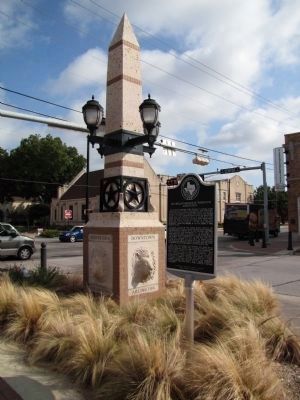
2. N Center St & E Division St
Regarding Bankhead Highway Through Arlington. There is a factual error. The Bankhead Highway was named after John Hollis Bankhead, not John Willis Bankhead. Despite the date on the marker, it was dedicated Sunday June 23, 2013.
Photographed by Mark, October 12, 2013
3. Bankhead Highway Through Arlington Marker
Credits. This page was last revised on January 23, 2026. It was originally submitted on October 18, 2013, by QuesterMark of Fort Worth, Texas. This page has been viewed 2,081 times since then and 175 times this year. Photos: 1. submitted on January 23, 2026, by James Hulse of Medina, Texas. 2, 3. submitted on October 18, 2013, by QuesterMark of Fort Worth, Texas. • Bernard Fisher was the editor who published this page.
