Near Jeffrey City in Fremont County, Wyoming — The American West (Mountains)
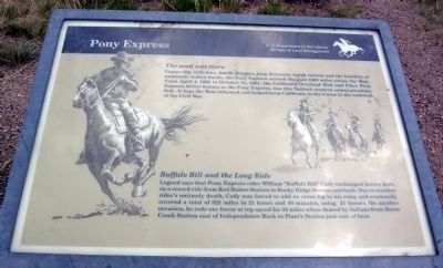
Pony Express
The need was there
Competing with time, harsh climates, long distances, tough terrain and the hostility of numerous Indian bands, the Pony Express carried the mail 1600 miles across the West. From April 4, 1860 to October 24, 1861, the California Overland Mail and Pikes Peak Express, better known as the Pony Express, was this Nation's western communications link. It kept the West informed and helped keep California in the Union at the outbreak of the Civil War.
Buffalo Bill and the Long Ride
Legend says that Pony Express rider William "Buffalo Bill" Code exchanged horses here on a record ride from Red Buttes Station to Rocky Ridge Station and back. Due to another rider's untimely death, Cody was forced to add an extra leg to his relay and eventually covered a total of 322 miles in 21 hours and 40 minutes, using 21 horses. On another occasion, he rode one horse at top speed for 24 miles when chased by Indians from Horse Creek Station east of Independence Rock to Plant's Station just east of here.
Erected by Bureau of Land Management.
Topics and series. This historical marker is listed in these topic lists: Communications • Roads & Vehicles . In addition, it is included in the Pony Express National Historic Trail series list. A significant historical month for this entry is April 1861.
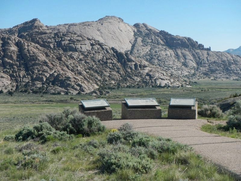
Location. 42° 27.253′ N, 107° 32.742′ W. Marker is near Jeffrey City, Wyoming, in Fremont County. Marker can be reached from U.S. 287, one mile west of California Emigrant Road, on the right when traveling west. Marker is located at a BLM interpretive pullout on the north side of US Route 287 approx. 16 miles east of Jeffrey City and approx. 8 miles northwest of State Route 220. Touch for map. Marker is in this post office area: Jeffrey City WY 82310, United States of America. Touch for directions.
Other nearby markers. At least 7 other markers are within 9 miles of this marker, measured as the crow flies. Split Rock (here, next to this marker); Split Rock Meadows (here, next to this marker); Trails to Opportunity (within shouting distance of this marker); Wild Horses (within shouting distance of this marker); a different marker also named Split Rock (within shouting distance of this marker); a different marker also named Split Rock (approx. 3.2 miles away); Muddy Gap (approx. 8.2 miles away).
Credits. This page was last revised on July 6, 2016. It was originally submitted on October 22, 2013, by Duane Hall of Abilene, Texas. This page has been viewed 694 times since then and 17 times this year. Photos: 1. submitted on October 22, 2013, by Duane Hall of Abilene, Texas. 2. submitted on December 23, 2012, by Duane Hall of Abilene, Texas. 3. submitted on July 5, 2016, by Barry Swackhamer of Brentwood, California.


