Near Austin in Lander County, Nevada — The American Mountains (Southwest)
The Surveyors
Photographed by Karen Key, November 23, 2008
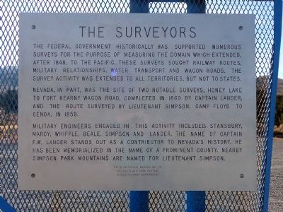
1. The Surveyors Marker
Nevada, in part, was the site of two notable surveys: Honey Lake to Fort Kearny wagon road, completed in 1860 by Captain Lander; and the route surveyed by Lieutenant Simpson, Camp Floyd to Genoa, in 1859.
Military engineers engaged in this activity included Stansbury, Marcy, Whipple, Beale, Simpson and Lander. The name of Captain F.W. Lander stands out as a contributor to Nevada's history. He has been memorialized in the name of a prominent county. Nearby Simpson Park Mountains are named for Lieutenant Simpson.
Erected by Nevada State Park System and Nevada Highway Department. (Marker Number 176.)
Topics. This historical marker is listed in these topic lists: Military • Railroads & Streetcars • Roads & Vehicles. A significant historical year for this entry is 1848.
Location. Marker is missing. It was located near 39° 27.408′ N,
this page online

Regionally, this marker was in andspecifically he Northern Nevada in Central Nevada. It was also in the American Mountain West. Globally, it was in North America, the Western Hemisphere, the Western World, and the Anglosphere. Historically, it found itself in what was once New Spain and also Mexico’s Alta California.
Other nearby markers. At least 8 other markers are within 5 miles of this location, measured as the crow flies: Reuel Colt Gridley (approx. 4.2 miles away); St. George's Episcopal Church (approx. 4½ miles away); Austin Methodist Church (approx. 4.6 miles away); Austin Churches (approx. 4.6 miles away); Lander County Courthouse (approx. 4.6 miles away); The Pony Express (approx. 4.6 miles away); Austin Masonic and Oddfellows Hall (1867) (approx. 4.7 miles away); St. Augustine (approx. 4.7 miles away). Touch for a list and map of all markers in Austin.
Also see . . . New Amended Text for Marker.
Photographed by Karen Key, November 23, 2008
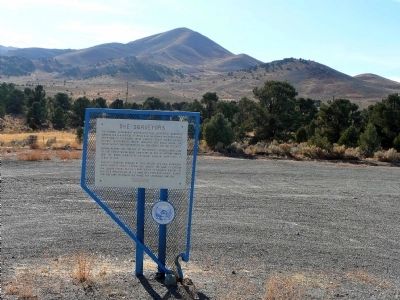
2. The Surveyors Marker
Photographed by Karen Key, November 23, 2008
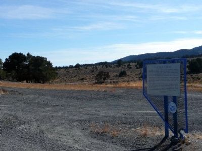
3. The Surveyors Marker
Photographed by Bill Kirchner, October 6, 2013
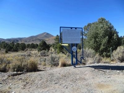
4. The Surveyors Marker
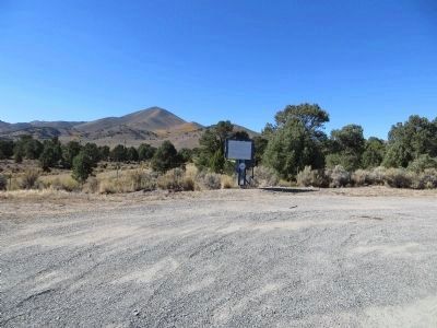
Photographed by Bill Kirchner, October 6, 2013
5. The Surveyors Marker
Credits. This page was last revised on July 31, 2024. It was originally submitted on December 22, 2008, by Karen Key of Sacramento, California. This page has been viewed 1,267 times since then and 12 times this year. Last updated on October 22, 2013, by Bill Kirchner of Tucson, Arizona. Photos: 1, 2, 3. submitted on December 22, 2008, by Karen Key of Sacramento, California. 4, 5. submitted on October 22, 2013, by Bill Kirchner of Tucson, Arizona. • Syd Whittle was the editor who published this page.
