Near Manchester in Coffee County, Tennessee — The American South (East South Central)
Granny Hickerson Cemetery
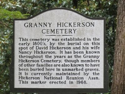
Photographed by Tom Gillard, October 23, 2013
1. Granny Hickerson Cemetery Marker
Erected 1968.
Topics. This historical marker is listed in this topic list: Cemeteries & Burial Sites. A significant historical year for this entry is 1968.
Location. 35° 29.3′ N, 86° 7.056′ W. Marker is near Manchester, Tennessee, in Coffee County. It is on Angwen Avenue north of Country Club Drive, on the left when traveling north. Touch for map. Marker is in this post office area: Manchester TN 37355, United States of America. Touch for directions.

Regionally, this marker is in Middle Tennessee and in the Highland Rim. It is also in the American South and specifically in the Upper South. Globally, it is in North America, the Western Hemisphere, the Western World, and the Anglosphere. Historically, it finds itself in what
this page online
Other nearby markers. At least 8 other markers are within walking distance of this marker: The Escarpment (approx. ¼ mile away); The "Moat" is an Adandoned River Channel (approx. 0.3 miles away); Mills Interrupt the Walls (approx. 0.6 miles away); The Uses of Water in Different Cultures (approx. 0.6 miles away); Powder Production (approx. 0.7 miles away); Patterns in Mound Wall Construction (approx. 0.7 miles away); The Old Stone Fort and the Stone Fort Paper Co. (approx. 0.7 miles away); Water: an Industrial Power Source (approx. 0.7 miles away). Touch for a list and map of all markers in Manchester.
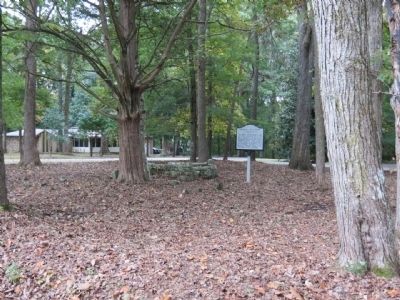
Photographed by Tom Gillard, October 23, 2013
2. Granny Hickerson Cemetery Marker
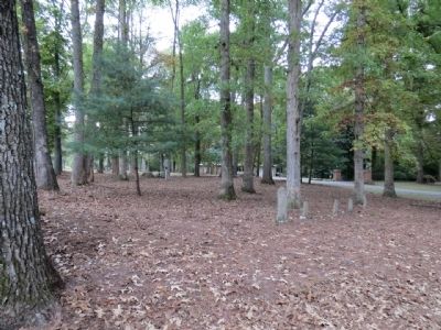
Photographed by Tom Gillard, October 23, 2013
3. Granny Hickerson Cemetery Marker
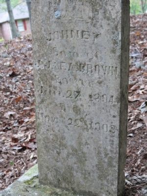
Photographed by Tom Gillard, October 23, 2013
4. Granny Hickerson Cemetery Marker
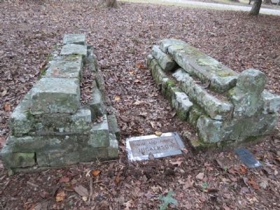
Photographed by Tom Gillard, October 23, 2013
5. Granny Hickerson Cemetery Marker

Photographed by Tom Gillard, October 23, 2013
6. Granny Hickerson Cemetery Marker
Credits. This page was last revised on June 16, 2016. It was originally submitted on October 23, 2013, by Tom Gillard of Tullahoma, Tennessee. This page has been viewed 1,267 times since then and 87 times this year. Photos: 1, 2, 3, 4, 5, 6. submitted on October 23, 2013, by Tom Gillard of Tullahoma, Tennessee. • Al Wolf was the editor who published this page.
