Armory Park in Tucson in Pima County, Arizona — The American Mountains (Southwest)
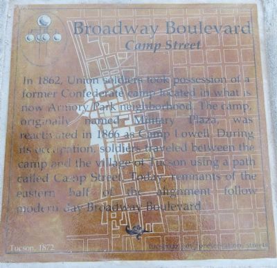
Broadway Boulevard
Camp Street
Inscription.
In 1862, Union soldiers took possession of a former Confederate camp located in what is now Armory Park neighborhood. The camp, originally named Military Plaza, was reactivated in 1866 as Camp Lowell. During its occupation, soldiers traveled between the camp and the village of Tucson using a path called Camp Street. Today, remnants of the eastern half of the alignment follow modern day Broadway Boulevard.
Erected 2013 by City of Tucson Historic Preservation Office.
Topics. This historical marker is listed in these topic lists: Roads & Vehicles • War, US Civil. A significant historical year for this entry is 1862.
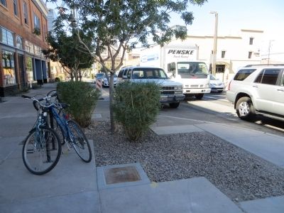
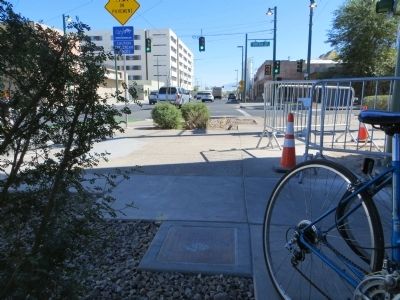
Location. 32° 13.266′ N, 110° 58.034′ W. Marker is in Tucson, Arizona, in Pima County. It is in Armory Park. Marker is at the intersection of East Broadway Boulevard and South 5th Avenue, on the right when traveling east on East Broadway Boulevard. Marker is on the southwest corner, mounted horizontally in the sidewalk. Touch for map. Marker is at or near this postal address: 188 E Broadway Blvd, Tucson AZ 85701, United States of America. Touch for directions.
Other nearby markers. At least 8 other markers are within walking distance of this marker. Congress Street (about 400 feet away, measured in a direct line); Hotel Congress (about 400 feet away); Toole Avenue (about 600 feet away); To The Mormon Battalion (about 700 feet away); Southern Pacific Railroad (about 700 feet away); Scott Avenue (about 700 feet away); World War I Memorial (about 800 feet away); a different marker also named Scott Avenue (approx. 0.2 miles away). Touch for a list and map of all markers in Tucson.
Credits. This page was last revised on June 16, 2016. It was originally submitted on October 25, 2013, by Bill Kirchner of Tucson, Arizona. This page has been viewed 655 times since then and 21 times this year. Photos: 1, 2, 3. submitted on October 25, 2013, by Bill Kirchner of Tucson, Arizona. • Syd Whittle was the editor who published this page.


