Near Darwin in Meeker County, Minnesota — The American Midwest (Upper Plains)
Daniel A. Cross
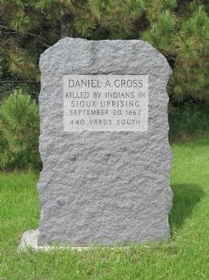
Photographed by K. Linzmeier, June 13, 2014
1. Daniel A. Cross Marker
Sioux Uprising
September 20, 1862
440 Yards South
Topics. This historical marker is listed in these topic lists: Settlements & Settlers • Wars, US Indian. A significant historical month for this entry is September 1777.
Location. 44° 59.655′ N, 94° 26.984′ W. Marker is near Darwin, Minnesota, in Meeker County. It is at the intersection of County Highway 18 and 655th Avenue, on the right when traveling west on County Highway 18. Touch for map. Marker is in this post office area: Darwin MN 55324, United States of America. Touch for directions.

Regionally, this marker is in Central Minnesota and specifically in Southwest Minnesota. It is also in the American Midwest and in the Corn Belt. Globally, it is in North America, the Western Hemisphere, the Western World, and the Anglosphere. Historically, it finds itself in what was once Rupert’s Land, the territory of the Mississippian Culture, and the Louisiana Purchase.
Other nearby markers. At least 8 other markers are within 8 miles of this marker, measured as the crow flies: Chief Little Crow (approx. 3½ miles away); St. Columban Cemetery (approx.
this page online
Regarding Daniel A. Cross. In 1862, the Minnesota Dakota, also known by the French term, “Sioux," waged war against the United States following two years of unfulfilled treaty obligations. During the U.S.–Dakota War, several hundred settlers had taken refuge at the Hutchinson stockade (a timber fort). Caleb Sanborn left the stockade to go back to his farm to check on crops and livestock – he was attacked and killed. When he didn't return, Daniel Cross, Lt. Oliver Pierce, and Frank Jewett left the stockade to look for Sanborn. They were attacked – Cross was killed, Pierce and Jewett escaped.
Also see . . . Daniel A. Cross. Find A Grave. (Submitted on November 6, 2013.)
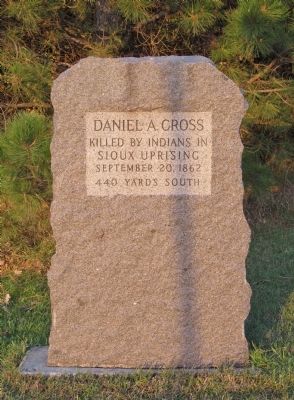
Photographed by K. Linzmeier, October 24, 2013
2. Daniel A. Cross Marker
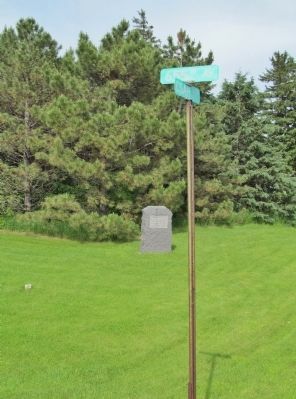
Photographed by K. Linzmeier, June 13, 2014
3. Daniel A. Cross Marker
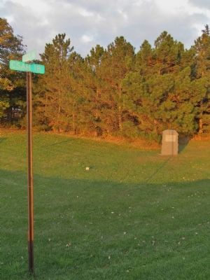
Photographed by K. Linzmeier, October 24, 2013
4. Daniel A. Cross Marker
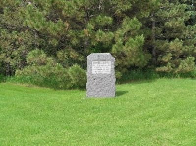
Photographed by K. Linzmeier, June 13, 2014
5. Daniel A. Cross Marker
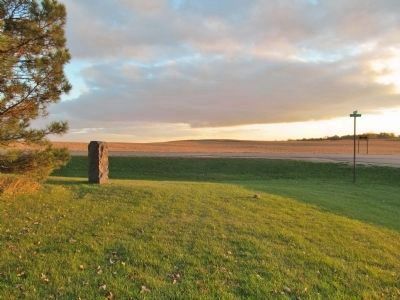
Photographed by K. Linzmeier, October 24, 2013
6. Daniel A. Cross Marker
looking south at sunset
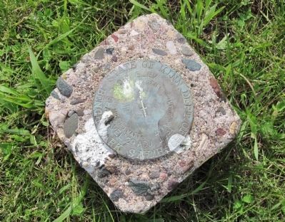
Photographed by K. Linzmeier, June 13, 2014
7. Nearby Bench Mark Survey Disk
Credits. This page was last revised on June 16, 2016. It was originally submitted on October 27, 2013, by Keith L of Wisconsin Rapids, Wisconsin. This page has been viewed 1,507 times since then and 50 times this year. Photos: 1. submitted on December 28, 2014, by Keith L of Wisconsin Rapids, Wisconsin. 2. submitted on October 27, 2013, by Keith L of Wisconsin Rapids, Wisconsin. 3. submitted on December 28, 2014, by Keith L of Wisconsin Rapids, Wisconsin. 4. submitted on October 27, 2013, by Keith L of Wisconsin Rapids, Wisconsin. 5. submitted on December 28, 2014, by Keith L of Wisconsin Rapids, Wisconsin. 6. submitted on October 27, 2013, by Keith L of Wisconsin Rapids, Wisconsin. 7. submitted on December 28, 2014, by Keith L of Wisconsin Rapids, Wisconsin.
