Oroville in Butte County, California — The American West (Pacific Coastal)
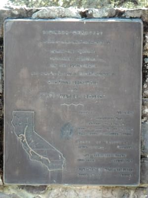
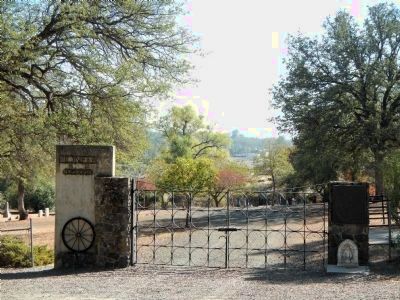
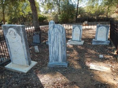
Pioneer Cemetery
Bidwell Bar Cemetery
Enterprise Cemetery
And six family plots
were moved to make way for the rising waters of
Oroville Reservoir
Erected 1965 by Native Sons of the Golden West, Argonaut No. 8, Native Daughters of the Golden West, Gold of Ophir No. 190 Butte County Historical Society.
Topics and series. This historical marker is listed in this topic list: Cemeteries & Burial Sites. In addition, it is included in the Native Sons/Daughters of the Golden West series list.
Location. 39° 32.023′ N, 121° 32.831′ W. Marker is in Oroville, California, in Butte County. Marker is on Thompson Flat Cemetery Road. Touch for map. Marker is at or near this postal address: 79 Thompson Flat Cemetery Road, Oroville CA 95965, United States of America. Touch for directions.
Other nearby markers. At least 8 other markers are within 2 miles of this marker, measured as the crow flies. Pioneer Miners Of Thompson Flat District (within shouting distance of this marker); Site of the First Flour Mill (approx. 1.3 miles away); Site of 1st Sawmill (approx. 1.3 miles away); Long's Bar (approx. 1.3 miles away); Site of Boehme & Heep Saloon (approx. 1.4 miles away); Site of First Oroville Bank (approx. 1.4 miles away); First Banking Institution in Ophir (approx. 1.4 miles away); Oroville Masonic Temple (approx. 1.4 miles away). Touch for a list and map of all markers in Oroville.
Credits. This page was last revised on June 16, 2016. It was originally submitted on October 28, 2013, by Barry Swackhamer of Brentwood, California. This page has been viewed 634 times since then and 31 times this year. Photos: 1, 2, 3. submitted on October 28, 2013, by Barry Swackhamer of Brentwood, California. • Syd Whittle was the editor who published this page.


