Blountville in Sullivan County, Tennessee — The American South (East South Central)
The Cannonball House
Narrowly Missed Destruction
Photographed by Don Morfe, July 31, 2013
1. The Cannonball House Marker
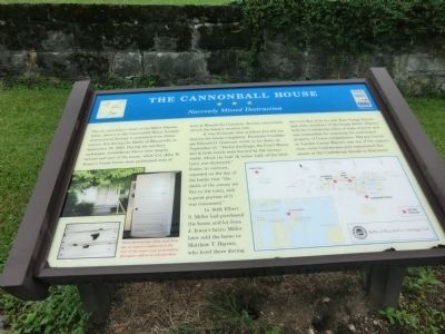
It was fortunate that artillery fire did not destroy the house completely. Kentucky Confederate Edward O. Guerrant wrote in his diary on September 25: “Twelve dwellings, the Court House, Jail & both hotels were burned by the enemy’s shells. About the half (& better half) of the little town was destroyed.” Foster, in contrast, reported on the day of the battle that “the shells of the enemy set fire to the town, and a great portion of it was consumed.”
In 1849, Elbert S. Miller had purchased the house and lot from J. Irwin’s heirs; Miller later sold the home to Matthew T. Haynes, who lived there during the Civil War with his wife Kate Snapp Haynes and other
this page online
(caption)
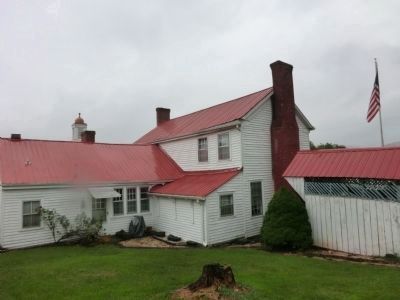
These photographs show shell damage to exterior clapboard in the rear of the house, now protected by plexiglass, and to an interior door.
Erected by Tennessee Civil War Trails.
Topics and series. This historical marker is listed in this topic list: War, US Civil. In addition, it is included in the Tennessee Civil War Trails series list. A significant historical month for this entry is September 1849.
Location. 36° 31.99′ N, 82° 19.515′ W. Marker is in Blountville, Tennessee, in Sullivan County. It is at the intersection of Bristol Highway (Tennessee Route 126) and Anderson Road, on the right when traveling east on Bristol Highway. Touch for map. Marker is in this post office area: Blountville TN 37617, United States of America. Touch for directions.

Regionally, this marker is in East Tennessee and in the Tri-Cities
Photographed by Don Morfe, July 31, 2013
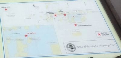
2. Battle of Blountville / Hertage Trail map
Other nearby markers. At least 8 other markers are within walking distance of this marker: Tipton Town House (within shouting distance of this marker); Ralph Blizard (within shouting distance of this marker); Anderson Townhouse (within shouting distance of this marker); Old Deery Inn (within shouting distance of this marker); Slave Quarters (about 300 feet away, measured in a direct line); a different marker also named Old Deery Inn (about 300 feet away); Fain Law Office (about 300 feet away); 1840 Smokehouse (about 300 feet away). Touch for a list and map of all markers in Blountville.
Photographed by Don Morfe, July 31, 2013
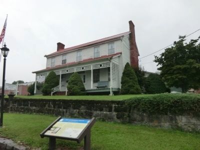
3. The Cannonball House Marker
Photographed by Don Morfe, July 31, 2013
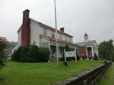
4. The Cannonball House (front)
Photographed by Don Morfe, July 31, 2013
5. The Cannonball House (rear)
Credits. This page was last revised on June 16, 2016. It was originally submitted on October 28, 2013, by Don Morfe of Baltimore, Maryland. This page has been viewed 2,116 times since then and 195 times this year. Photos: 1, 2, 3, 4, 5. submitted on October 28, 2013, by Don Morfe of Baltimore, Maryland. • Bernard Fisher was the editor who published this page.
