Pilar in Taos County, New Mexico — The American Mountains (Southwest)
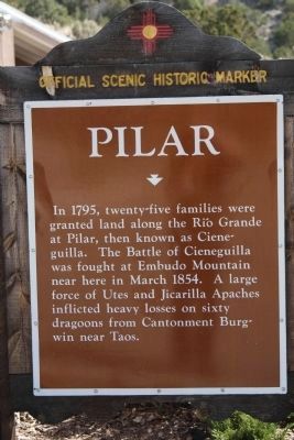
Pilar
Erected by New Mexico Historic Preservation Division.
Topics. This historical marker is listed in these topic lists: Native Americans • Settlements & Settlers. A significant historical month for this entry is March 1854.
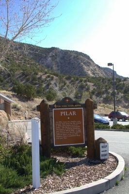
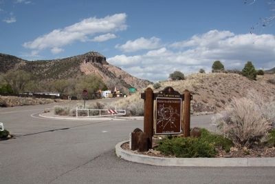
Location. 36° 16.08′ N, 105° 47.325′ W. Marker is in Pilar, New Mexico, in Taos County. Marker is at the intersection of State Road 68 and State Road 570, on the right when traveling north on State Road 68. It is in the parking lot of the Rio Grande Gorge Visitor’s Center. Touch for map. Marker is at or near this postal address: 2873 North State Road 68, Penasco NM 87553, United States of America. Touch for directions.
Other nearby markers. At least 8 other markers are within 12 miles of this marker, measured as the crow flies. William J. Klauer (approx. 4.2 miles away); Captive Women and Children of Taos County / María Rosa Villapando, (ca. 1725-1830) (approx. 4.3 miles away); Maria Ramita Simbola Martinez "Summer Harvest" (1884-1969) (approx. 5.6 miles away); Pueblo of Picuris (approx. 6.9 miles away); Embudo Stream-Gaging Station (approx. 8.7 miles away); Las Trampas (approx. 9.6 miles away); San Francisco de Asis Church (approx. 11.8 miles away); Velarde (approx. 12 miles away).
Also see . . . Wikipedia entry for the Battle of Cieneguilla. “A combined force of about 250 Apaches and Utes laid an ambush for the U.S. dragoons. In his report two days after the battle, Davidson stated that he ‘came upon the Apaches near Cieneguilla who at once sounded the war whoop.’ According to Private James A. Bennett (aka James Bronson), a sergeant who survived the ambush, the battle lasted about four hours. It started around 8 a.m. and ended when the dragoon regiments retreated at 12 p.m. to Ranchos de Taos.” (Submitted on April 29, 2013.)
Credits. This page was last revised on June 16, 2016. It was originally submitted on August 6, 2011, by Bill Kirchner of Tucson, Arizona. This page has been viewed 815 times since then and 47 times this year. Last updated on October 31, 2013, by Richard Denney of Austin, Texas. Photos: 1, 2, 3. submitted on April 29, 2013, by J. J. Prats of Powell, Ohio. • Bill Pfingsten was the editor who published this page.


