Brooklyn Center in Hennepin County, Minnesota — The American Midwest (Upper Plains)
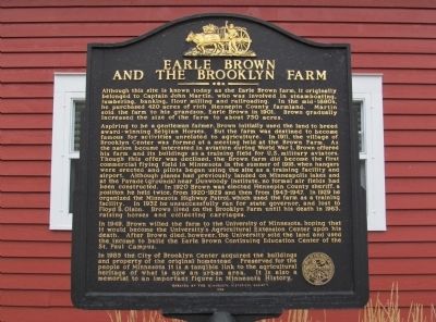
Earle Brown and the Brooklyn Farm
Photographed by K. Linzmeier, October 24, 2013
1. Earle Brown and the Brooklyn Farm Marker
Aspiring to be a gentlemen farmer, Brown initially used the land to breed award-winning Belgian Horses. But the farm was destined to become famous for activities unrelated to agriculture. In 1911, the village of Brooklyn Center was formed at a meeting held at the Brown farm. As the nation became interested in aviation during World War I, Brown offered his farm and its buildings as a training field for U.S. military aviators. Though this offer was declined, the Brown farm did become the first commercial flying field in Minnesota in the summer of 1918, when hangars were erected and pilots began using the site as a training facility and airport. Although planes had previously landed on Minnesota lakes and at the Parade (grounds) near Dunwoody
this page online
In 1949, Brown willed the farm to the University of Minnesota, hoping that it would become the University's Agricultural Extension Center upon his death. After Brown died, however, the University sold the land and used the income to build the Earle Brown Continuing Education Center of the St. Paul Campus.
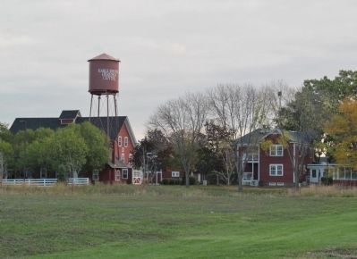
In 1985 the City of Brooklyn Center acquired the buildings and property of the original homestead. Preserved for the people of Minnesota, it is a tangible link to the agricultural heritage of what is now an urban area. It is also a memorial to an important figure in Minnesota history.
Erected by the Minnesota Historical Society
1998
Erected 1998
Photographed by K. Linzmeier, October 24, 2013
2. Earle Brown and the Brooklyn Farm Marker
Topics and series. This historical marker is listed in these topic lists: Agriculture • Air & Space • Education • Settlements & Settlers. In addition, it is included in the Minnesota Historical Society series list. A significant historical year for this entry is 1901.
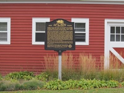
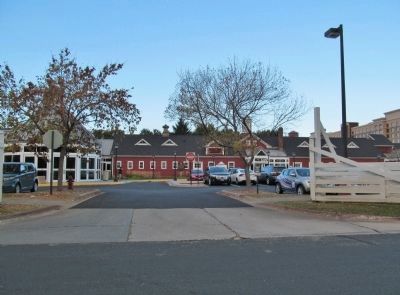
Location. 45° 4.032′ N, 93° 18.174′ W. Marker is in Brooklyn Center, Minnesota, in Hennepin County. It can be reached from Earle Brown Drive 0.3 miles east of Summit Drive North, on the left when traveling east. Marker is at the Earle Brown Heritage Center, left of the main office/stable entrance. Touch for map. Marker is at or near this postal address: 6155 Earle Brown Drive, Minneapolis MN 55430, United States of America. Touch for directions.

Regionally, this marker is in the Twin Cities Metropolitan Area. It is also in the American Midwest, in the Corn Belt, and in the Great River Road Region. Globally, it is in North America, the Western Hemisphere, the Western World, and the Anglosphere. Historically, it finds itself in what was once Rupert’s Land, the territory of the Mississippian Culture, and the
Photographed by K. Linzmeier, October 24, 2013
3. Earle Brown Heritage Center
Other nearby markers. At least 8 other markers are within 3 miles of this marker, measured as the crow flies: Riedel Farmhouse (approx. 1.1 miles away); Maple Leaf and Humboldt Heights (approx. 1½ miles away); Banfill-Locke Tavern / Manomin County Park (approx. 2 miles away); Anoka County Manomin* Park (approx. 2 miles away); "Lest We Forget" (approx. 2.2 miles away); The Great War (approx. 2.2 miles away); Victory Memorial Drive (approx. 2.2 miles away); a different marker also named Victory Memorial Drive (approx. 2.2 miles away).
Photographed by K. Linzmeier, October 24, 2013
4. Earle Brown Heritage Center
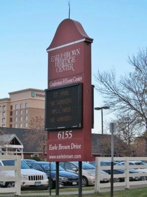
Photographed by K. Linzmeier, October 24, 2013
5. Earle Brown Heritage Center Sign
Credits. This page was last revised on June 7, 2021. It was originally submitted on November 3, 2013, by Keith L of Wisconsin Rapids, Wisconsin. This page has been viewed 4,647 times since then and 236 times this year. Photos: 1, 2, 3, 4, 5. submitted on November 3, 2013, by Keith L of Wisconsin Rapids, Wisconsin.
