Marietta in Cobb County, Georgia — The American South (South Atlantic)
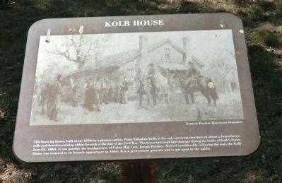
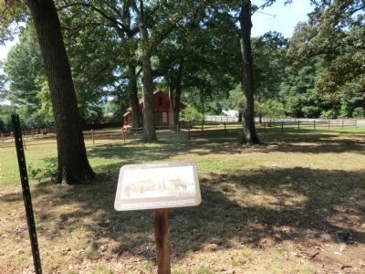
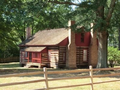
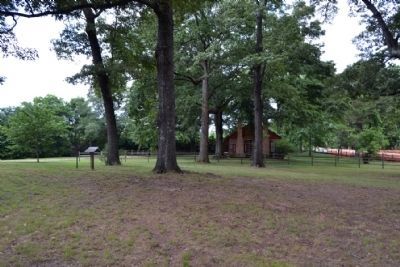
Kolb House
Kennesaw Mountain National Battlefield Park
Caption:
General Hooker Questions Prisoners
Erected by National Park Service.
Topics. This historical marker is listed in this topic list: War, US Civil. A significant historical month for this entry is June 1856.
Location. 33° 54.617′ N, 84° 35.82′ W. Marker is in Marietta, Georgia, in Cobb County. Marker can be reached from the intersection of Powder Springs Road SW (Georgia Route 360) and Callaway Road SW, on the left when traveling south. Touch for map. Marker is in this post office area: Marietta GA 30008, United States of America. Touch for directions.
Other nearby markers. At least 8 other markers are within walking distance of this marker. Battle of Kolb's Farm (a few steps from this marker); a different marker also named Battle of Kolb's Farm (within shouting distance of this marker); Battle of Kolb's Farm - June 22, 1864 (within shouting distance of this marker); Wm. G. McAdoo's Birthplace (approx. 0.4 miles away); a different marker also named Battle of Kolb's Farm (approx. half a mile away); Historic Dickson House (approx. 0.7 miles away); a different marker also named Battle of Kolb’s Farm (approx. 0.8 miles away); Powder Springs Road (approx. 0.9 miles away). Touch for a list and map of all markers in Marietta.
Also see . . . Kennesaw Mountain National Battlefield Park. (Submitted on November 10, 2013.)
Credits. This page was last revised on May 28, 2020. It was originally submitted on November 9, 2013, by Don Morfe of Baltimore, Maryland. This page has been viewed 789 times since then and 56 times this year. Photos: 1, 2, 3. submitted on November 9, 2013, by Don Morfe of Baltimore, Maryland. 4. submitted on June 16, 2015, by Duane Hall of Abilene, Texas. • Bernard Fisher was the editor who published this page.


