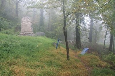
Near Lookout Mountain in Hamilton County, Tennessee — The American South (East South Central)
147th Pennsylvania Infantry
1st Brigade
— 2d Division —
Inscription.
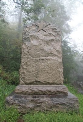
Front side of the Marker:
To Her
147th Infantry Regiment.
Colonel Ario Pardee, Commanding.
1st Brigade.
2d Division.
12th Corps.
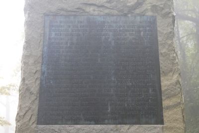
Back side of the Marker:
This Regiment was transferred, from the Army of the Potomac to the Armies operating near Chattanooga, Tennessee, arriving at Wachatchie, October 29th, 1863. It participated with General Geary's White Star Division in the capture of Lookout Mountain, November 24th, 1863. On the 25th, crossed the Chattanooga Valley to the foot of Missionary Ridge, north of Rossville Gap, gaining the crest about three fourths of a mile north of that point, and assisting in the capture of many prisoners during and after the charge of the Army of the Cumberland which drove the enemy from the ridge, then followed the retreating Confederate Army on the 26th and 27th, engaging in its final defeat at Ringgold, Georgia. Col. Charles Candy of the 66th Ohio Infantry commanded the Brigade at the Battle of Lookout Mountain and Col. William R. Creighton of the 7th Ohio Infantry at Missionary Ridge and to Ringgold where he was killed and the command devolved on Col. Thomas N. Ahl of the 28th Pennsylvania Infantry. The Division was commanded by Brigadier General John W. Geary and the Corps by Major General Henry W. Slocum, all under command of Major General Joseph Hooker.
Erected 1897 by the State of Pennsylvania. (Marker Number MT-332.)
Topics and series. This memorial is listed in this topic list: War, US Civil. In addition, it is included in the Chickamauga and Chattanooga National Military Park, Lookout Mountain, and the Chickamauga and Chattanooga National Military Park: November 24, 1863 series lists. A significant historical date for this entry is October 29, 1766.
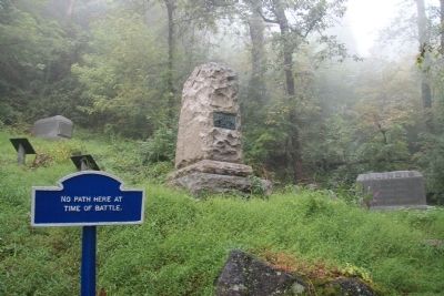
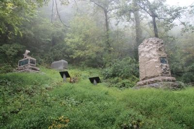
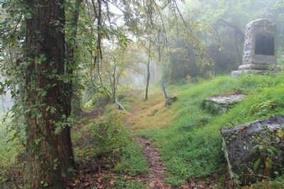
Location. 35° 0.784′ N, 85° 20.552′ W. Marker is near Lookout Mountain, Tennessee, in Hamilton County. Memorial can be reached from Shingle Road north of Military Road. This historical marker (monument) is located on the grounds of the Chickamauga-Chattanooga National Military Park, just north of the grounds of the Cravens' House, in a small cluster of markers and monuments, along a park hiking trail that runs from the Cravens' House, up the slope of the ridge, to Point Park on the summit of Lookout Mountain. According to the location information provided by the National Park Service, this monument is, “Located on trail above Cravens House on Cravens Reservation/1935 Map 304.". Touch for map. Marker is in this post office area: Lookout Mountain TN 37350, United States of America. Touch for directions.
Other nearby markers. At least 8 other markers are within walking distance of this marker
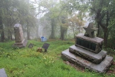
. 59th Illinois Infantry (here, next to this marker); 29th Ohio Infantry (here, next to this marker); 5th Ohio Infantry (here, next to this marker); Candy's Brigade (here, next to this marker); 13th Illinois Infantry Monument (a few steps from this marker); 28th Pennsylvania Infantry (a few steps from this marker); 96th Illinois Infantry (a few steps from this marker); Carlin's Brigade (within shouting distance of this marker). Touch for a list and map of all markers in Lookout Mountain.
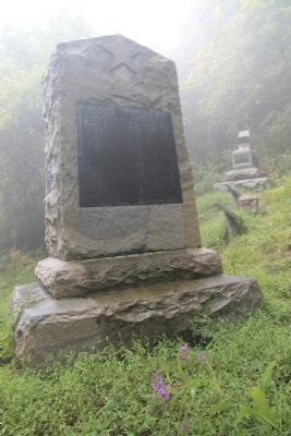
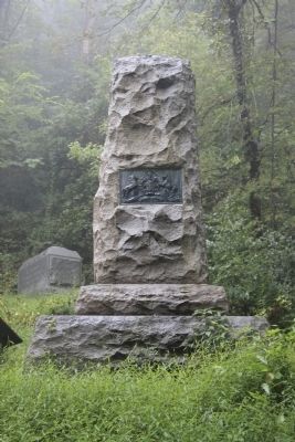
More about this marker. According to the description information provided by the National Park Service, “7'6" x 4'3" x 10'6", the rock-faced granite monument consists of double step base and peaked-top vertical slab with bronze tablet on one side and inscription on other. At top on both sides is 5-pointed star in relief."
Credits. This page was last revised on September 10, 2020. It was originally submitted on November 12, 2013, by Dale K. Benington of Toledo, Ohio. This page has been viewed 921 times since then and 21 times this year. Photos: 1, 2, 3, 4, 5, 6, 7, 8, 9. submitted on November 12, 2013, by Dale K. Benington of Toledo, Ohio.
