Fayetteville in Cumberland County, North Carolina — The American South (South Atlantic)
The Sandford House
Barracks for Union Troops
— Carolinas Campaign —
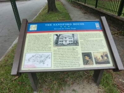
Daingerfield, who had been clerk at the Harpers Ferry arsenal in 1859 during John Brown’s Raid, came here when munitions and equipment were transferred to the Fayetteville Arsenal from Harpers Ferry in 1861. Maj. John C. Booth, commanding officer at the Fayetteville Arsenal, appointed him military storekeeper and paymaster. Daingerfield served in the 2nd Battalion Local Defense Troops, commonly referred to as the Arsenal Guard, and occupied the house with his wife Matilda and his four children. His son Elliott Daingerfield (1859-1932) was a well-known artist renowned for his landscapes and religious paintings. He left Fayetteville at age 21 to study in New York and Europe, later taught in Philadelphia, and summered for many years at Blowing Rock, N.C.
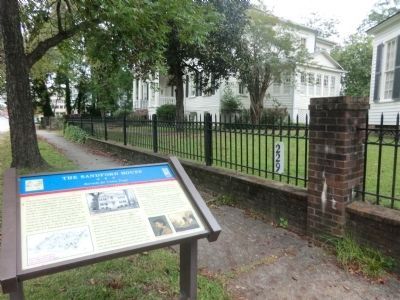
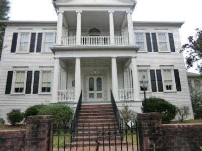
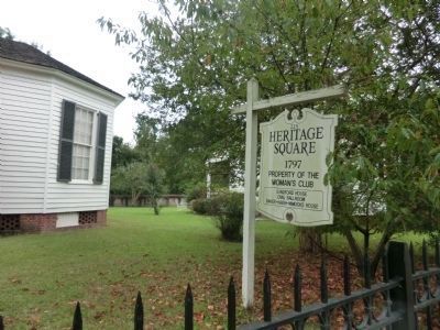
The Daingerfield family sold the Sandford House about 1897. Since 1945, the Fayetteville Woman’s Club has owned and maintained the building, using it for meetings and social functions. The club also maintains the Baker-Haigh-Nimocks House (ca. 1804) and the Oval Ballroom (ca. 1830), with generous assistance from the National Society of Colonial Dames.
(captions)
(lower left) Fayetteville Arsenal during Capt. Daingerfield’s tenure, conjectural plan by Jack Riggin
(center) Sanford House, 1948
(lower right) “Elliott Daingerfield,” 1890 and “Carolina Sunlight,” circa 1915 — Morris Museum of Art, Augusta, Georgia
Erected by Civil War Trails.
Topics and series. This memorial is listed in these topic lists: Colonial Era • War, US Civil. In addition, it is included in the North Carolina Civil War Trails series list. A significant historical month for this entry is March 1865.
Location. 35° 2.926′ N, 78° 52.699′ W. Marker is in Fayetteville, North Carolina, in Cumberland County. Memorial is on Dick Street south of Halliday Street, on the right when traveling north. Touch for map. Marker is at or near this postal address: 229 Dick Street, Fayetteville NC 28301, United States of America. Touch for directions.
Other nearby markers. At least 8 other markers are within walking distance of this marker. Bank of the United States (about 300 feet away, measured in a direct line); Charles W. Chesnutt (approx. 0.2 miles away); Lafayette (approx. 0.2 miles away); Liberty Point (approx. ¼ mile away); First Presbyterian Church (approx. ¼ mile away); Liberty Point Declaration of Independence (approx. ¼ mile away); Cross Creek (approx. ¼ mile away); Charter of the University of N. C. (approx. ¼ mile away). Touch for a list and map of all markers in Fayetteville.
Credits. This page was last revised on March 9, 2021. It was originally submitted on November 23, 2013, by Don Morfe of Baltimore, Maryland. This page has been viewed 950 times since then and 197 times this year. Photos: 1, 2, 3, 4. submitted on November 23, 2013, by Don Morfe of Baltimore, Maryland. • Bernard Fisher was the editor who published this page.


