Near Port Gibson in Claiborne County, Mississippi — The American South (East South Central)
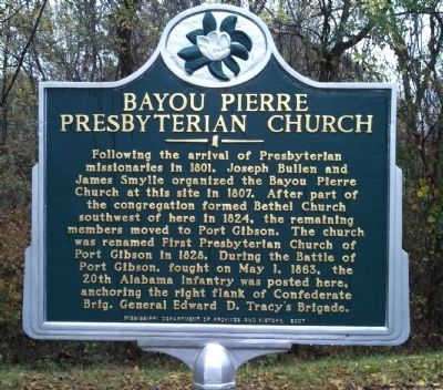
Bayou Pierre Presbyterian Church
Erected 2007 by Mississippi Department of Archives and History.
Topics and series. This historical marker is listed in these topic lists: Churches & Religion • War, US Civil. In addition, it is included in the Mississippi State Historical Marker Program series list. A significant historical month for this entry is May 1865.
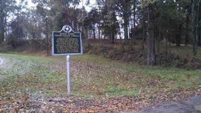
Location. 31° 57.793′ N, 91° 2.606′ W. Marker is near Port Gibson, Mississippi, in Claiborne County. Marker is on Rodney Road, 4.2 miles west of Church Street (U.S. 61), on the right when traveling west. Touch for map. Marker is in this post office area: Port Gibson MS 39150, United States of America. Touch for directions.
Other nearby markers. At least 8 other markers are within 2 miles of this marker, measured as the crow flies. The Shaifer Farmstead (approx. 1.1 miles away); The Quandary of Freedom (approx. 1.1 miles away); At the Center of the Battle (approx. 1.1 miles away); Field Surgery on the Porch (approx. 1.1 miles away); Reconciliation and Reunions (approx. 1.1 miles away); From This Site (approx. 1.2 miles away); A Fight at Midnight (approx. 1.2 miles away); Battle of Port Gibson (approx. 1.2 miles away). Touch for a list and map of all markers in Port Gibson.
Credits. This page was last revised on December 10, 2016. It was originally submitted on November 24, 2013, by Cleo Robertson of Fort Lauderdale, Florida. This page has been viewed 786 times since then and 36 times this year. Photos: 1, 2, 3. submitted on November 24, 2013, by Cleo Robertson of Fort Lauderdale, Florida. • Bernard Fisher was the editor who published this page.


