Stafford in Stafford County, Virginia — The American South (Mid-Atlantic)
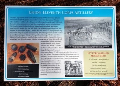
Union Eleventh Corps Artillery
Photographed by Bernard Fisher, November 23, 2013
1. Union Eleventh Corps Artillery Marker
this page online
11th Corps Artillery Brigade Units
1st New York Artillery, Battery I
2nd New York Battery
13th New York Battery
1st Ohio Artillery, Battery I
1st Ohio Artillery, Battery K
Source: Organization of the Army of the Potomac, May 31, 1863. OR Series 1, Part II, Vol 25, #40.
(captions)
11th Corps Ordnance
(1) 3-inch Hotchkiss shell (explosive)
(2) 12lb cannonball (case Shot)
(3) 12lb cannonball (solid shot)
(4) 10lb Parrot (explosive)
(5) 3-inch Schenkl (shell)
(6) Canister shot – 12lb Napoleon
Civil War photo taken near Atlanta GA of battery constructed with parapet and gun shelves similar to those found in battery
Photographed by Bernard Fisher, November 23, 2013
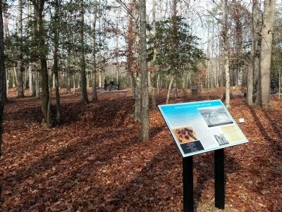
2. Union Eleventh Corps Artillery Marker
3-inch ordnance rifle – Library of Congress
Erected 2013 by Stafford County.
Topics. This historical marker is listed in this topic list: War, US Civil. A significant historical year for this entry is 1863.
Location. 38° 23.689′ N, 77° 24.203′ W. Marker is in Stafford, Virginia, in Stafford County. It can be reached from Mount Hope Church Road (County Route 677) 1.2 miles west of Brooke Road (County Route 608). Located in Stafford Civil War Park. Touch for map. Marker is at or near this postal address: 400 Mount Hope Church Rd, Stafford VA 22554, United States of America. Touch for directions.

Regionally, this marker is in the Washington Metropolitan Area, in Northern Virginia, and in the Piedmont. It is also in the American South, specifically in the Upper South, in the Mid-Atlantic, and on the Eastern Seaboard. Globally, it is in the North Atlantic Region, North America, the Western Hemisphere, the Western World, and the Anglosphere. Historically, it finds itself in what was once the territory of the Mississippian Culture, one of the original Thirteen
Photographed by Bernard Fisher
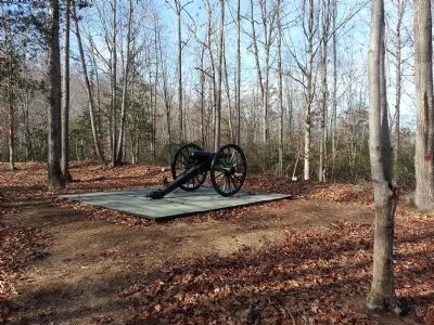
3. 3-inch Ordnance Rifle (replica)
Other nearby markers. At least 8 other markers are within walking distance of this marker: Union Batteries at Accokeek Creek (a few steps from this marker); The Daniel Bridge (within shouting distance of this marker); Quarrying the Stone (about 400 feet away, measured in a direct line); Buzzard's Roost (about 400 feet away); Potomac Church Road (about 400 feet away); Sandstone Quarry (about 500 feet away); Touring the Stafford Civil War Park (about 500 feet away); Union Infantry Winter Camp (about 500 feet away). Touch for a list and map of all markers in Stafford.
Also see . . . Stafford Civil War Park. (Submitted on November 25, 2013.)
Photographed by Shane Oliver, January 12, 2022
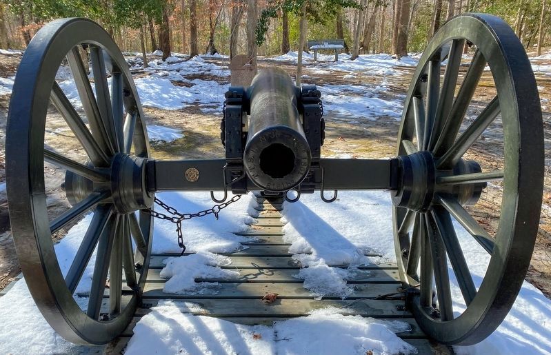
4. 3-inch Ordnance Rifle at Battery 1
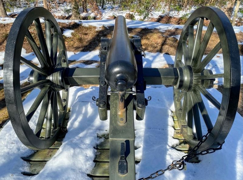
Photographed by Shane Oliver, January 12, 2022
5. 3-inch Ordnance Rifle at Battery 1
Credits. This page was last revised on May 24, 2022. It was originally submitted on November 25, 2013, by Bernard Fisher of Richmond, Virginia. This page has been viewed 774 times since then and 36 times this year. Photos: 1, 2, 3. submitted on November 25, 2013, by Bernard Fisher of Richmond, Virginia. 4, 5. submitted on May 23, 2022, by Shane Oliver of Richmond, Virginia.
