Near West Lafayette in Tippecanoe County, Indiana — The American Midwest (Great Lakes)
Post Ouiatenon Site
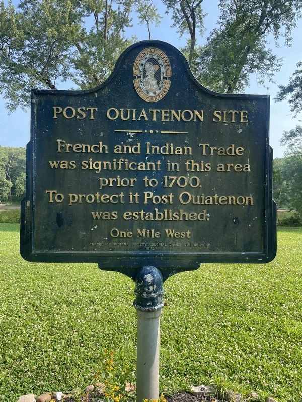
Photographed by Daulton Cox, July 14, 2026
1. Post Ouiatenon Site Marker
One Mile West
Erected 1972 by Indiana Society Colonial Dames XVII Century.
Topics and series. This historical marker is listed in these topic lists: Colonial Era • Forts and Castles • Industry & Commerce. In addition, it is included in the The Colonial Dames XVII Century, National Society series list. A significant historical year for this entry is 1700.
Location. 40° 24.321′ N, 86° 57.875′ W. Marker is near West Lafayette, Indiana, in Tippecanoe County. It can be reached from South River Road west of S. Newman Road. Marker is located at the Fort Ouiatenon Park south of the parking lot. Touch for map. Marker is in this post office area: West Lafayette IN 47906, United States of America. Touch for directions.

Regionally, this marker is in Central Indiana. It is also in the American Midwest and in the Corn Belt. Globally, it is in North America, the Western Hemisphere, the Western World, and the Anglosphere. Historically, it finds itself in what was once the Viceroyalty of New France,
this page online
Other nearby markers. At least 8 other markers are within 4 miles of this marker, measured as the crow flies: Site of the Birth Place of Rev. Anthony Foucher (about 500 feet away, measured in a direct line); Fort Ouiatenon (about 500 feet away); Liberty Tree (about 700 feet away); Universal Soil Loss Equation (approx. 2.6 miles away); The Purdue Flagpole (approx. 3 miles away); The Wea Plains (approx. 3.2 miles away); Main Street Bridge (approx. 3.6 miles away); John T. Myers (approx. 3.7 miles away). Touch for a list and map of all markers in West Lafayette.
Another marker is no longer nearby. Scott's Expedition (was approx. 3.3 miles away but has been confirmed missing).
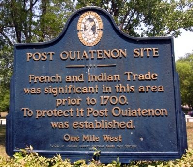
Photographed by Duane Hall, July 7, 2012
2. Post Ouiatenon Site Marker
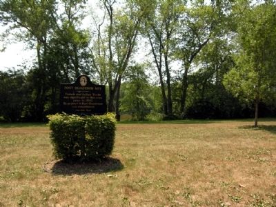
Photographed by Duane Hall, July 7, 2012
3. Post Ouiatenon Site Marker
Credits. This page was last revised on July 16, 2026. It was originally submitted on November 25, 2013, by Duane Hall of Abilene, Texas. This page has been viewed 827 times since then and 32 times this year. Photos: 1. submitted on July 15, 2026, by Daulton Cox of Muncie, Indiana. 2, 3. submitted on November 25, 2013, by Duane Hall of Abilene, Texas.
